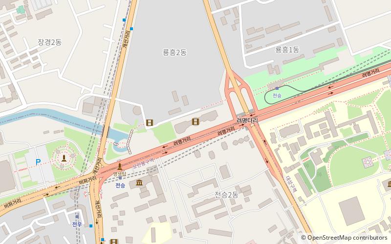
Chongryu Bridge, Pyongyang
Map
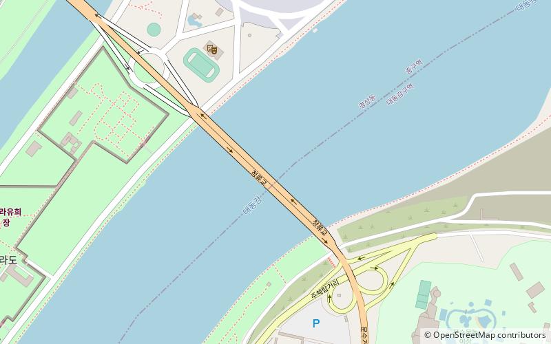
Map

Facts and practical information
The Chongryu Bridge is one of the six major bridges in Pyongyang crossing the Taedong River. Like the Rungra Bridge on its south, Chongryu Bridge passes through Rungra Island. ()
Address
Pyongyang
ContactAdd
Social media
Add
Day trips
Chongryu Bridge – popular in the area (distance from the attraction)
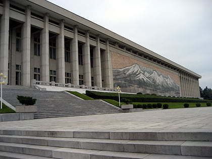
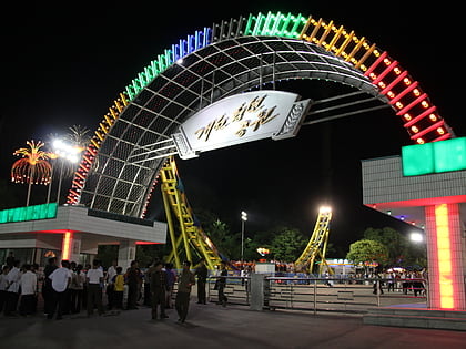
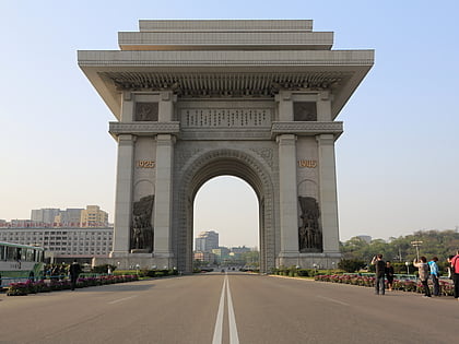
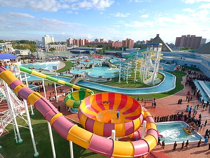
Nearby attractions include: Korean Revolution Museum, Kaeson Youth Park, Arch of Triumph, Munsu Water Park.
Frequently Asked Questions (FAQ)
Which popular attractions are close to Chongryu Bridge?
Nearby attractions include Rŭngrado, Pyongyang (7 min walk), Rungra People's Pleasure Ground, Pyongyang (15 min walk), Chongam-ri Earthen Castle, Pyongyang (18 min walk), Rungra Bridge, Pyongyang (22 min walk).
How to get to Chongryu Bridge by public transport?
The nearest stations to Chongryu Bridge:
Tram
Trolleybus
Train
Metro
Tram
- Stop • Lines: 2 (18 min walk)
Trolleybus
- Stop • Lines: 5 (30 min walk)
Train
- Kaesŏn (29 min walk)
- Thŏngil (33 min walk)
Metro
- Kaesŏn • Lines: 1 (29 min walk)
- Thŏngil • Lines: 1 (33 min walk)

