Manwoldae, Kaesong
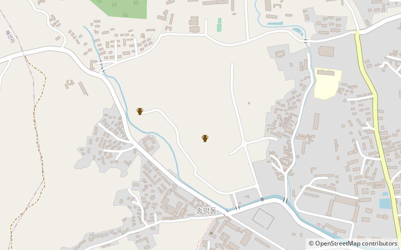
Map
Facts and practical information
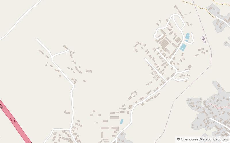
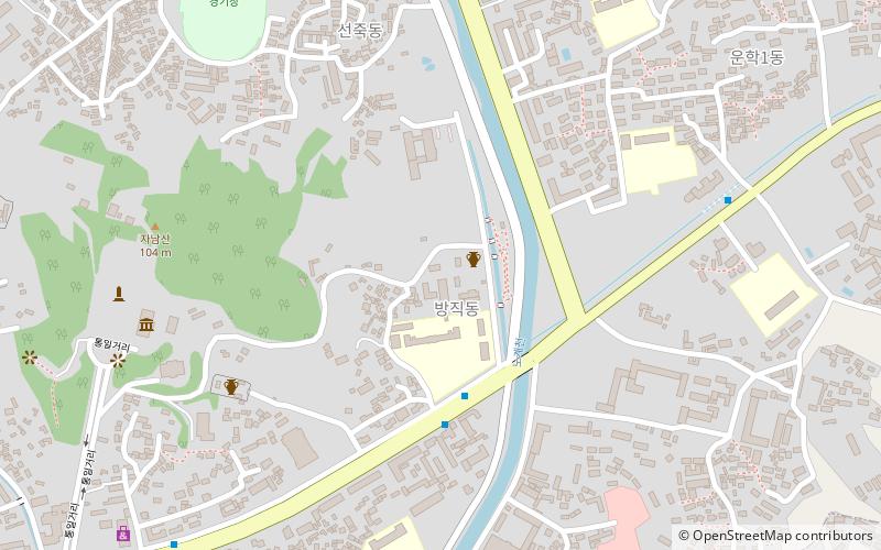
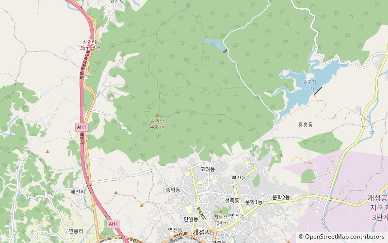
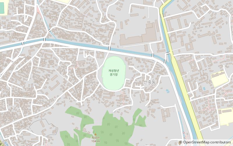
Manwoldae, or Mangwoldae, was the main palace of the Goryeo Dynasty of Korea. It did not have an official name, such as "Gyeongbokgung", because it was an imperial palace like the imperial palaces of China. Located in the Goryeo capital of Kaesong, the palace was burned in 1011, 1126, 1171, 1225, and 1362. The name "Manwoldae" was given to the ruins of the palace during the 14th or 15th century of the Joseon period. ()
Alternative names: Unesco: from 2013Area: 107.49 acres (0.168 mi²)Coordinates: 37°59'11"N, 126°32'32"E
Address
Kaesong
ContactAdd
Social media
Add
Day trips
Manwoldae – popular in the area (distance from the attraction)
Nearby attractions include: Kaesong Chomsongdae, Sonjuk Bridge, Anhwasa, Western Kaesong Park.
