Kaesong Chomsongdae, Kaesong
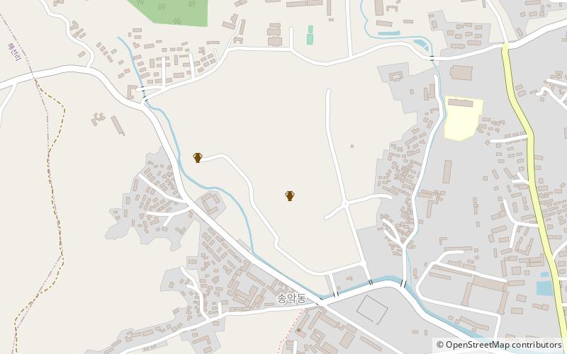
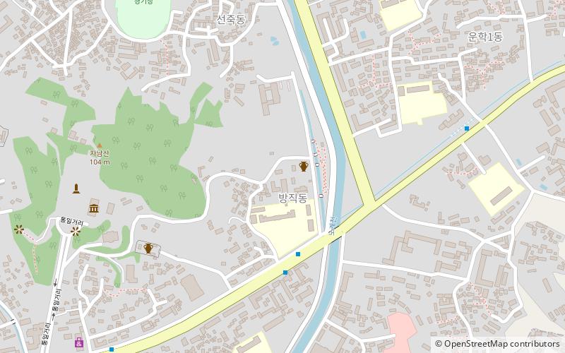
Map
Facts and practical information
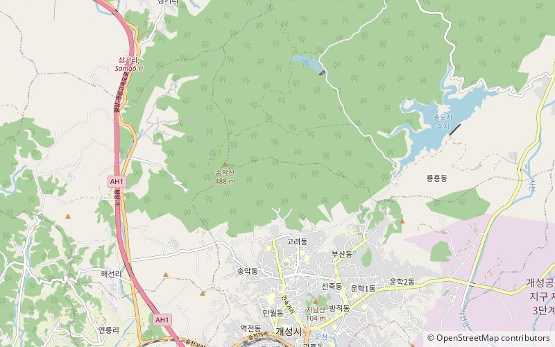
The Kaesong Chomsongdae Observatory is located in Songak-dong, Kaesong, North Korea. It was an astronomical observatory during the Koryo period. Now only a granite platform remains, the sides of which coincide with the main cardinal points. ()
Address
Kaesong
ContactAdd
Social media
Add
Getting there by public transportation
Public transportation stops near this location
- Train
 Train
Train
- Calculate routeKaesong 19 min walk
Day trips


Frequently Asked Questions (FAQ)
How to get to Kaesong Chomsongdae by public transport?
The nearest stations to Kaesong Chomsongdae:
Train
Train
- Kaesong (19 min walk)