Rungra Bridge, Pyongyang
Map
Map

Facts and practical information
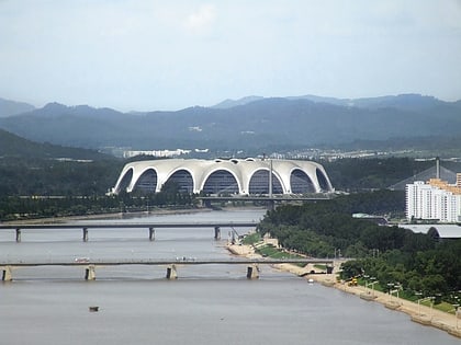
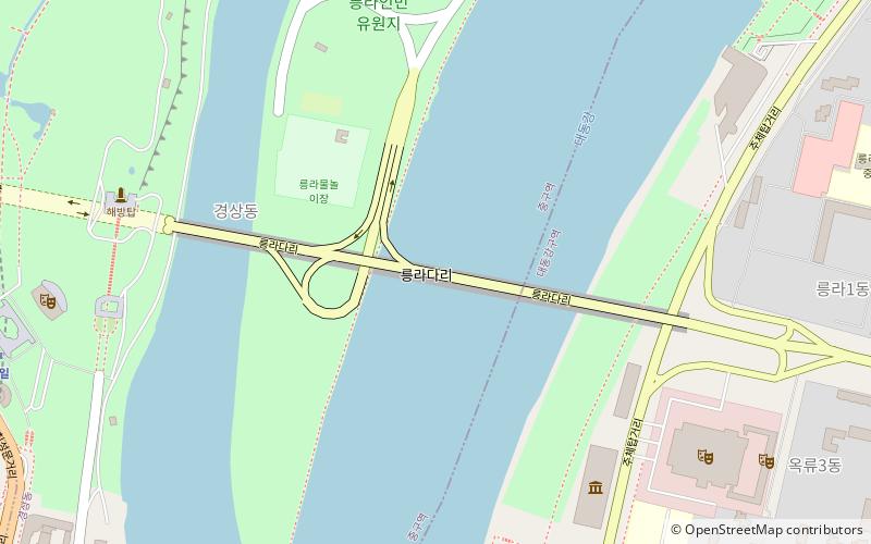
The Rungra Bridge is a bridge in Pyongyang, North Korea, one of the city's six bridges on the Taedong River. Located between the Okryu Bridge to the south and Chongryu Bridge to the north, it connects Moranbong-guyok on the right bank of the Taedong River with Taedonggang-guyok on the left bank, passing through Rungra Island in the middle. It totals 1,070 metres in length. It was completed in 1988. ()
Address
Pyongyang
ContactAdd
Social media
Add
Day trips
Rungra Bridge – popular in the area (distance from the attraction)
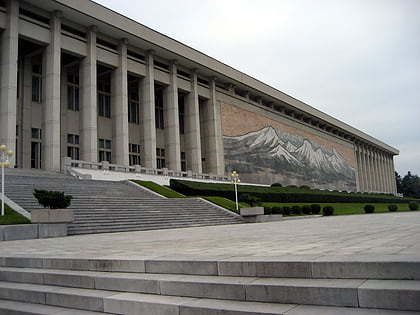
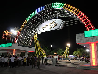
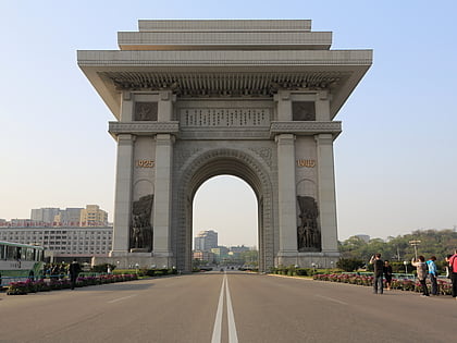
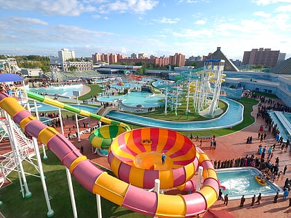
Nearby attractions include: Korean Revolution Museum, Kaeson Youth Park, Arch of Triumph, Munsu Water Park.
Frequently Asked Questions (FAQ)
Which popular attractions are close to Rungra Bridge?
Nearby attractions include Liberation Monument, Pyongyang (9 min walk), East Pyongyang Grand Theatre, Pyongyang (10 min walk), Chongam-ri Earthen Castle, Pyongyang (10 min walk), Rungra People's Pleasure Ground, Pyongyang (10 min walk).
How to get to Rungra Bridge by public transport?
The nearest stations to Rungra Bridge:
Train
Metro
Trolleybus
Tram
Bus
Train
- Thŏngil (13 min walk)
- Kaesŏn (23 min walk)
Metro
- Thŏngil • Lines: 1 (13 min walk)
- Kaesŏn • Lines: 1 (23 min walk)
Trolleybus
- Stop • Lines: 1 (16 min walk)
Tram
- Stop • Lines: 2 (19 min walk)
Bus
- 1백 (25 min walk)
- 대동문 • Lines: 10 (25 min walk)

