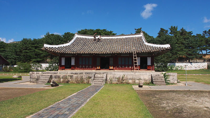
Koryo Muesum, Kaesong

Gallery (2)
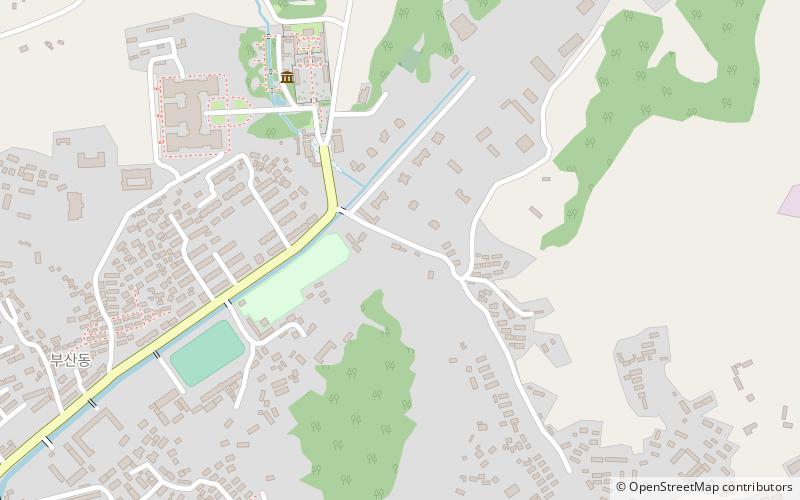
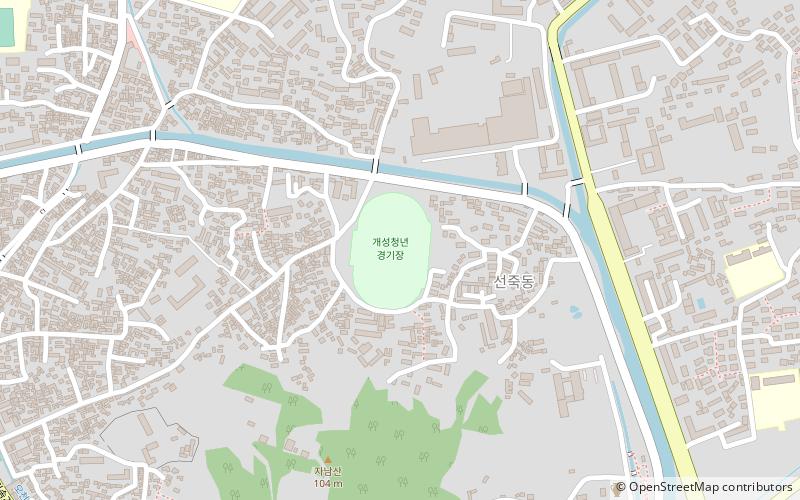
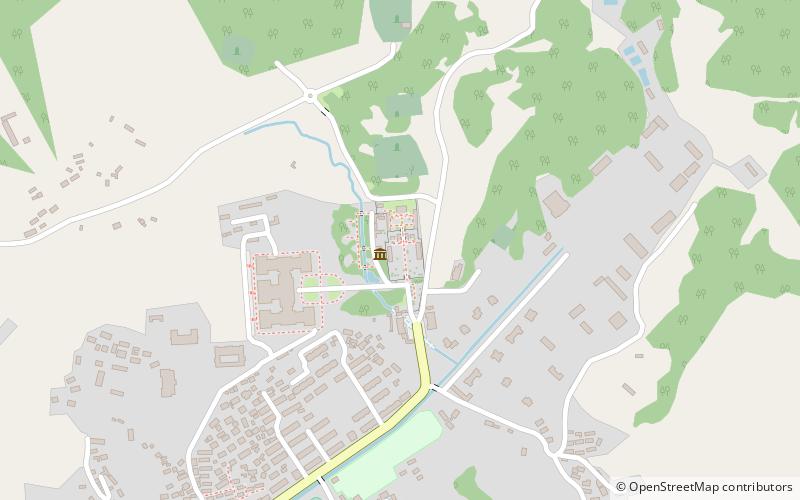
Map
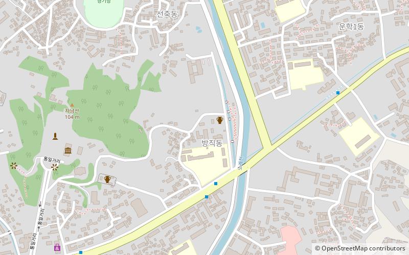
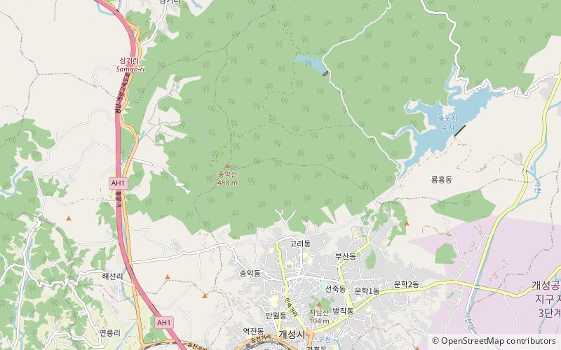
Map
Gallery
Facts and practical information
Koryo Muesum is a place located in Kaesong (Kaesŏng special administrative region) and belongs to the category of museum.
It is situated at an altitude of 194 feet, and its geographical coordinates are 37°59'30"N latitude and 126°34'16"E longitude.
Among other places and attractions worth visiting in the area are: Kaesong city walls (unesco, 6 min walk), Western Kaesong Park (arenas and stadiums, 24 min walk), Sonjuk Bridge (unesco, 28 min walk).
Coordinates: 37°59'30"N, 126°34'16"E
Address
Kaesong
ContactAdd
Social media
Add
Day trips
Koryo Muesum – popular in the area (distance from the attraction)
Nearby attractions include: Kaesong city walls, Sonjuk Bridge, Anhwasa, Western Kaesong Park.