Trek Zone

Kaesong city walls, Kaesong
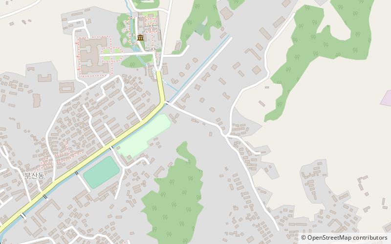
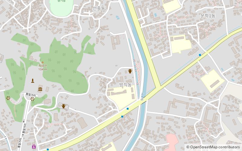
#10 among attractions in Kaesong

Unesco, Forts and castles
Kaesong city walls location map
Map

Facts and practical information
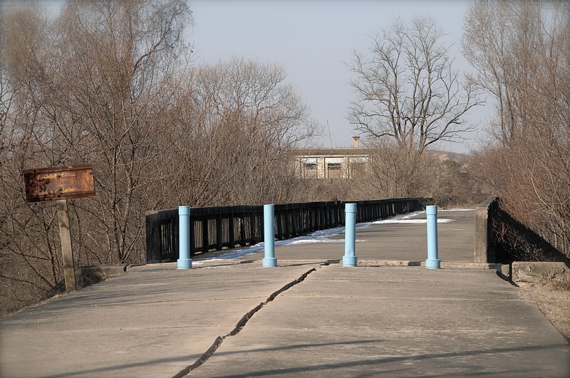
Local name: 개성 성곽 Unesco: from 2013Area: 8.65 acres (0.0135 mi²)Coordinates: 37°59'19"N, 126°34'23"E
Address

Kaesong North Korea

ContactAdd
Social media
Add
Day trips

Kaesong city walls – popular in the area (distance from the attraction)

Nearby attractions include: Bridge of No Return, North Korea Peace Museum, Tomb of King Kongmin, Manwoldae.

  • bridge of no return kaesong5.8 miE
  • north korea peace museum kaesong5.4 miE
  • tomb of king kongmin kaesong5.5 miW
  • manwoldae kaesong location map
    1.7 miW
  • tomb of king wanggon kaesong3.7 miW
  • royal tombs of the koryo dynasty kaesong3.7 miW
  • panmunjeom kaesong3.8 miSE
  • historic monuments and sites in kaesong3.6 miW
  • koryo muesum kaesong~1230 ftNW
  • kaesong chomsongdae location map
    2.5 miSW
  • sonjuk bridge kaesong location map
    0.9 miSW

Frequently Asked Questions (FAQ)

Which popular attractions are close to Kaesong city walls?

Nearby attractions include Koryo Muesum, Kaesong (6 min walk), Sonjuk Bridge, Kaesong (24 min walk).

Where to next? Visit kaesong Kaesŏng region page or discover the top tourist attractions in North Korea.