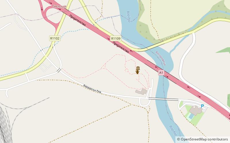
Vardarski Rid, Gevgelija

Gallery (2)
Map

Map
Gallery
Facts and practical information
Vardarski Rid is an archaeological site in Gevgelija, North Macedonia of a town dating from Early Antiquity. Archaeological excavations reveal the architectural layout of the monumental stoa, an acropolis, and other segments from the settlement. Vardarski Rid is also used today as a picnic spot. ()
Local name: Вардарски РидCoordinates: 41°8'55"N, 22°31'13"E
Address
Gevgelija
ContactAdd
Social media
Add
Day trips
Vardarski Rid – popular in the area (distance from the attraction)
Nearby attractions include: Bogdanci.
