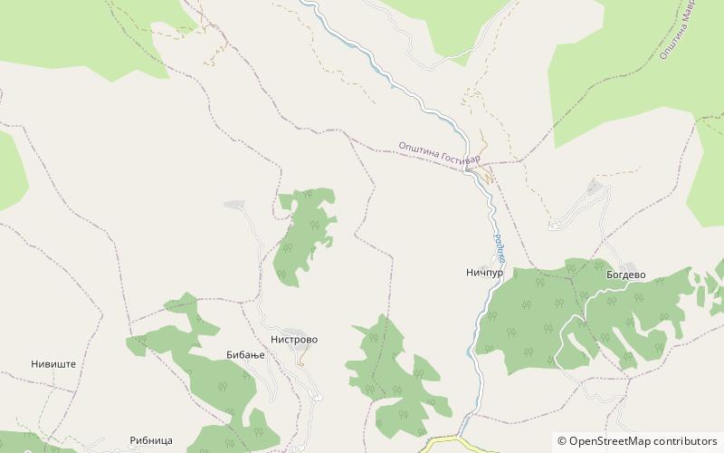
Upper Reka, Mavrovo National Park

Map
Facts and practical information
Upper Reka is a geographic and ethnographic subregion of the broader Reka region of western North Macedonia, including settlements within the upper left portion of the Municipality of Mavrovo and Rostuša and of Gostivar Municipality. The region is home to both a Muslim Albanian community and Christian Orthodox Albanian speaking population that self identifies as Macedonians, though with some notable exceptions in past and recent times. ()
Coordinates: 41°45'0"N, 20°39'0"E
Address
Mavrovo National Park
ContactAdd
Social media
Add
Day trips
Upper Reka – popular in the area (distance from the attraction)
Nearby attractions include: Korab-Koritnik Nature Park.
