Karitinden, Reinheimen National Park
Map
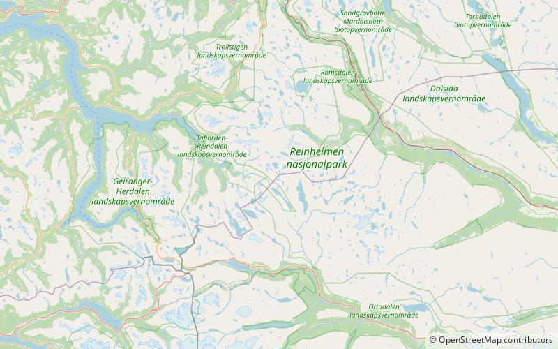
Map

Facts and practical information
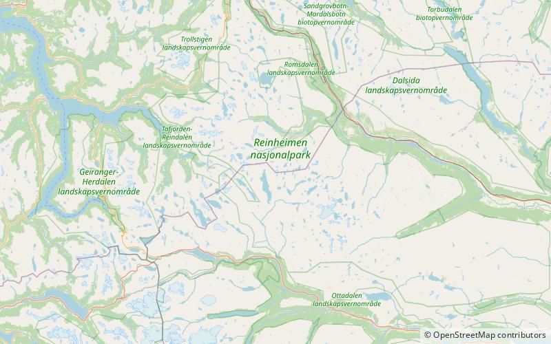
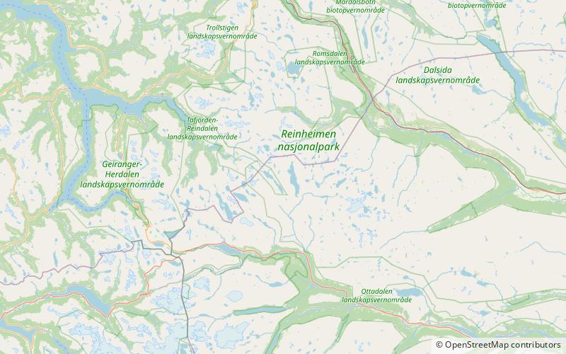
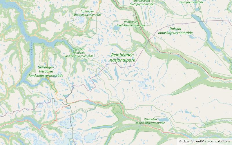
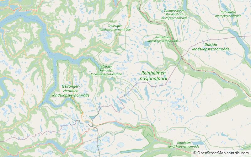
Karitinden is a mountain in the Tafjordfjella mountain range inside Reinheimen National Park on the border of Innlandet and Møre og Romsdal counties in Norway. The top of the mountain is a tripoint border junction for Skjåk Municipality, and Fjord Municipality and Rauma Municipality. The nearest village is Tafjord which lies 17 kilometres to the northwest. The lake Tordsvatnet lies 4 kilometres southeast of the mountain and the mountain Puttegga lies 4 kilometres to the northwest. ()
Address
Reinheimen National Park
ContactAdd
Social media
Add
Day trips
Karitinden – popular in the area (distance from the attraction)
Nearby attractions include: Puttegga, Benkehøa, Vetldalseggi, Tordsvatnet.


