Tafjordfjella, Reinheimen National Park
Map
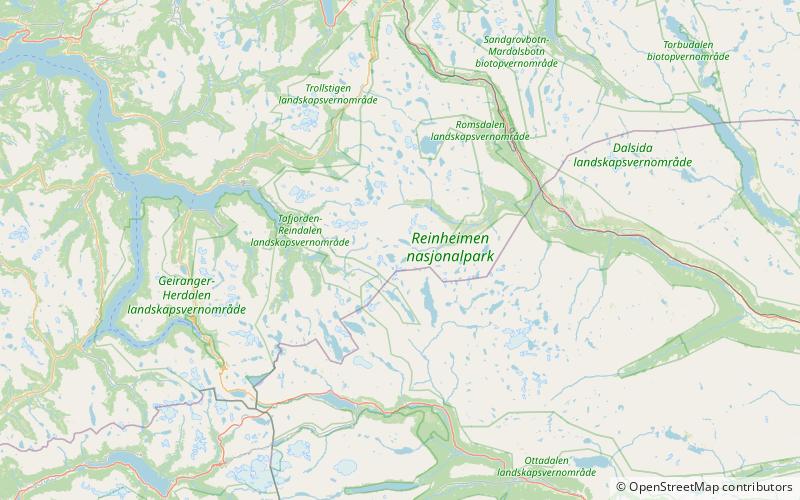
Map

Facts and practical information
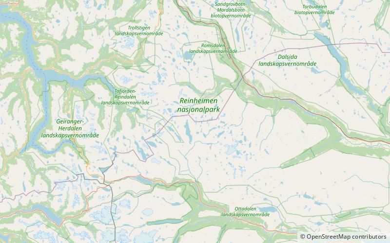
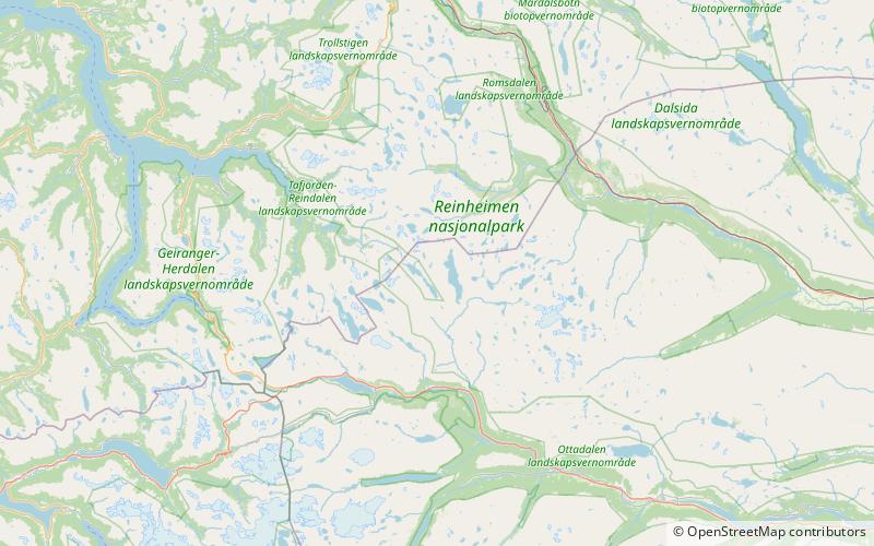
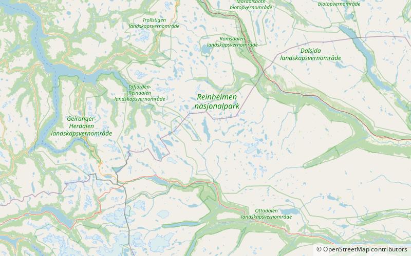
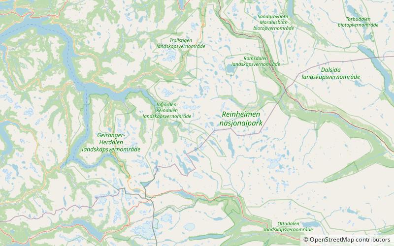
Tafjordfjella or Tafjordfjellene is a mountain range in Møre og Romsdal and Innlandet counties, Norway. It is located in the municipalities of Fjord, Stranda, Rauma, and Skjåk. The area takes its name from the village of Tafjord and the Tafjorden, the main entry point. The highest peaks are Puttegga at 1,999 metres, Karitinden at 1,982 metres, Tordsnose at 1,975 metres, and Høgstolen at 1,953 metres. ()
Local name: Tafjordfjellene Maximum elevation: 6558 ftElevation: 6558 ftCoordinates: 62°12'42"N, 7°44'41"E
Address
Reinheimen National Park
ContactAdd
Social media
Add
Day trips
Tafjordfjella – popular in the area (distance from the attraction)
Nearby attractions include: Puttegga, Karitinden, Benkehøa, Vetldalseggi.


