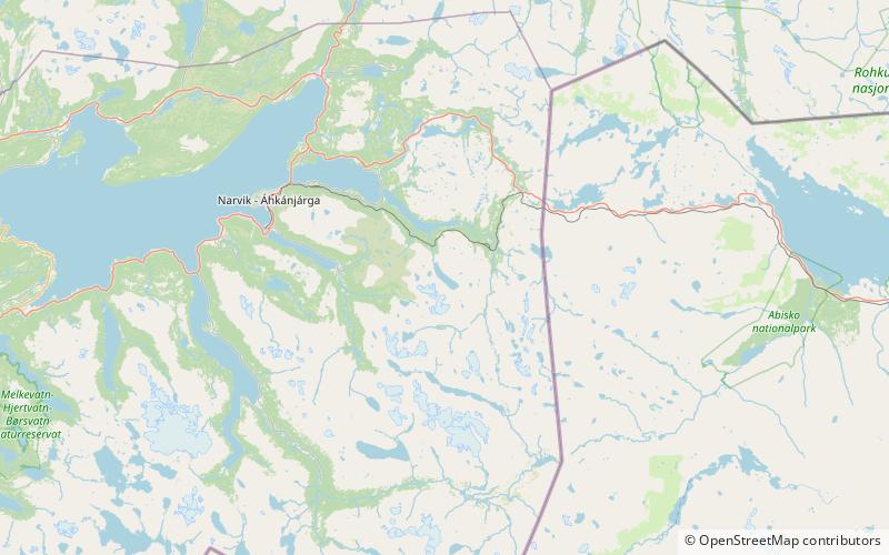
Indre Sildvikvatnet

Map
Facts and practical information
Local name: Inner-Sildvikvatnet Length: 2.05 miWidth: 2625 ftElevation: 2146 ft a.s.l.Coordinates: 68°21'59"N, 17°51'44"E
Location
Nordland
ContactAdd
Social media
Add
Day trips
Indre Sildvikvatnet – popular in the area (distance from the attraction)
Nearby attractions include: Rombak Bridge, Bjørnfjell Chapel.

