Haitanna, Sør-Spitsbergen National Park
Map
Facts and practical information
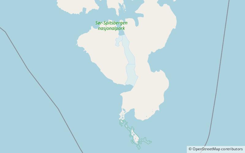
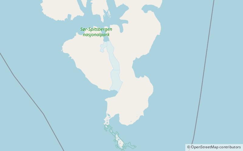
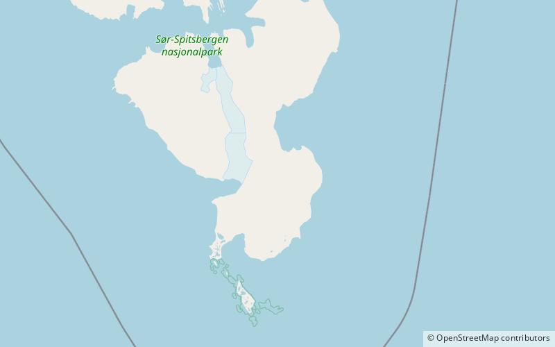
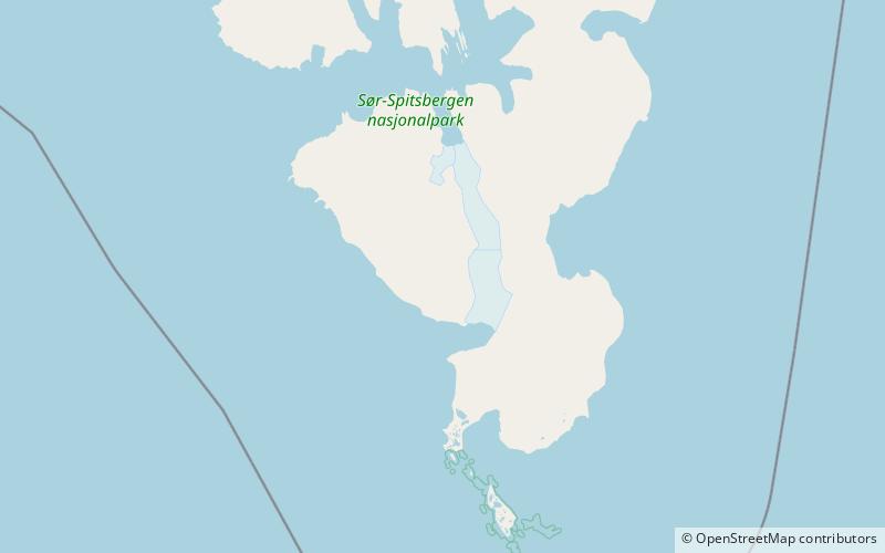
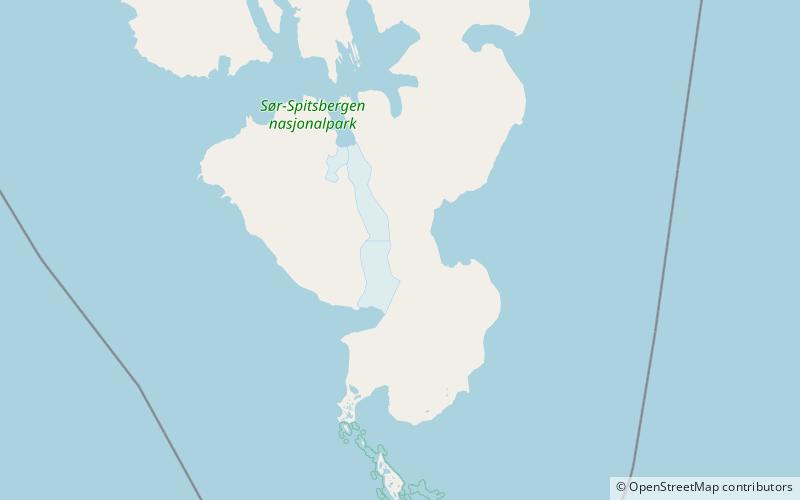
Haitanna is a mountain in Sørkapp Land at Spitsbergen, Svalbard. It has a height of 932 m.a.s.l. and is located between the glaciers Vasil'evbreen and Olsokbreen. The peak has a distinctive shape, and is visible from the sea. ()
Coordinates: 76°46'53"N, 16°36'7"E
Address
Sør-Spitsbergen National Park
ContactAdd
Social media
Add
Day trips
Haitanna – popular in the area (distance from the attraction)
Nearby attractions include: Olsokbreen, Hilmarfjellet, Roaldryggen, Guilbaudtoppen.

