Hilmarfjellet, Sør-Spitsbergen National Park
Map
Facts and practical information
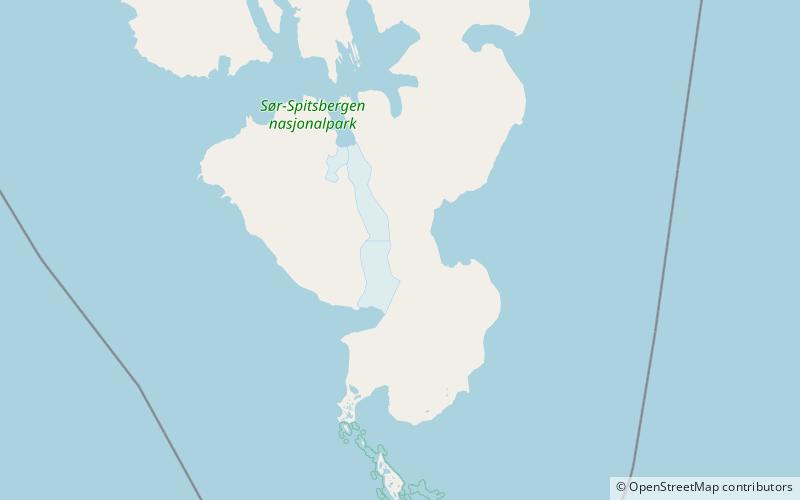
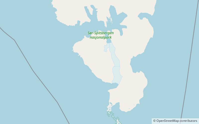
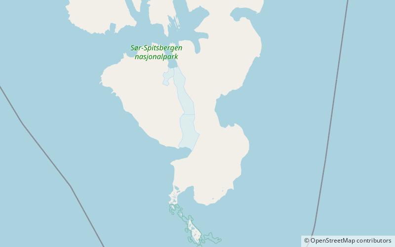
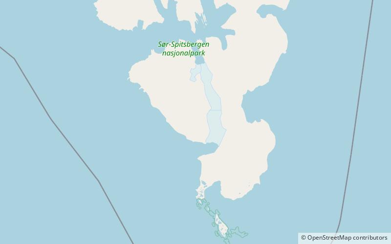
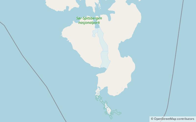
Hilmarfjellet is a mountain in Sørkapp Land at Spitsbergen, Svalbard. Its highest peak is 810 m.a.s.l. with a secondary peak of about 700 m, and it is located northeast of the plain Bjørnbeinflya, at the western side of Olsokbreen. The mountain is named after hunter and sailor Hilmar Andreas Nilsen Nøis. The northern side of the mountain is covered by the glacier Nøisbreen, and Vitkovskijbreen is located northwest of the mountain. ()
Coordinates: 76°44'35"N, 16°19'8"E
Address
Sør-Spitsbergen National Park
ContactAdd
Social media
Add
Day trips
Hilmarfjellet – popular in the area (distance from the attraction)
Nearby attractions include: Haitanna, Olsokbreen, Bungevatnet, Roaldryggen.
