Sandviksfjellet, Bergen
Map

Map

Facts and practical information
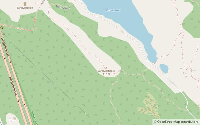
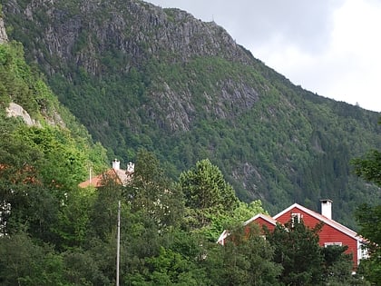
Sandviksfjellet is a mountain in the city of Bergen in Vestland county, Norway. It is one of the traditional seven mountains that surround the city centre of Bergen. The mountain lies on the east side of the city neighborhood of Sandviken, just north of the mountain Fløyen. The European route E39 highway runs through the mountain as part of the Fløyfjell Tunnel. ()
Address
BergenhusBergen
ContactAdd
Social media
Add
Day trips
Sandviksfjellet – popular in the area (distance from the attraction)
Nearby attractions include: Bryggen, Fløyen, Bergenhus Fortress, St Mary's Church.
Frequently Asked Questions (FAQ)
Which popular attractions are close to Sandviksfjellet?
Nearby attractions include Fløyfjell Tunnel, Bergen (12 min walk), Christinegård, Bergen (12 min walk), Sandvik Church, Bergen (15 min walk), Norges Fiskerimuseum, Bergen (17 min walk).
How to get to Sandviksfjellet by public transport?
The nearest stations to Sandviksfjellet:
Bus
Train
Ferry
Bus
- Mulen • Lines: 10 (13 min walk)
- Prahls vei • Lines: 10 (14 min walk)
Train
- Fløibanen, øvre stasjon (27 min walk)
Ferry
- Beffen - Bradbenken • Lines: Beffen (27 min walk)
- Strandkaiterminalen båtkai (30 min walk)


