Kjerringberget, Trondheim
Map
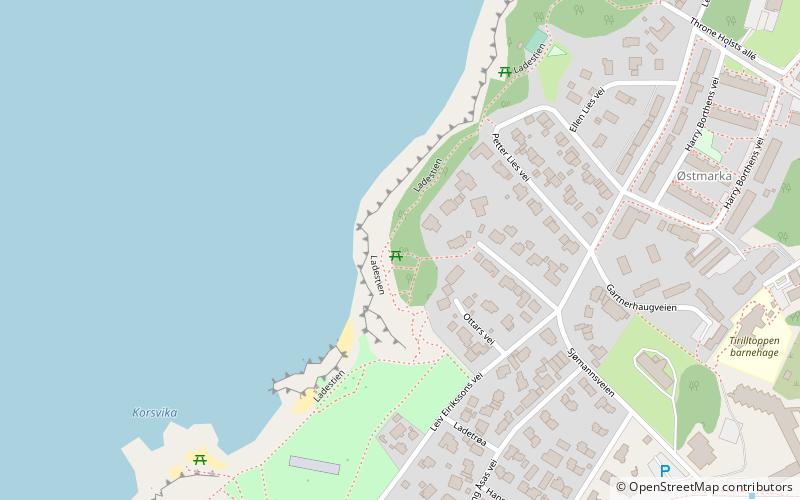
Map

Facts and practical information
Kjerringberget is a hill located in the Lade area in the municipality of Trondheim in Trøndelag county, Norway. The small mountain is about 45 metres above sea level. The Ladestien trail, which goes from Ladehammeren to Rotvoll, crosses Kjerringberget. The top of Kjerringberget provides a view over western Trondheim, Munkholmen, Trondheimsfjord, and Fosen. ()
Coordinates: 63°27'8"N, 10°26'14"E
Address
Trondheim
ContactAdd
Social media
Add
Day trips
Kjerringberget – popular in the area (distance from the attraction)
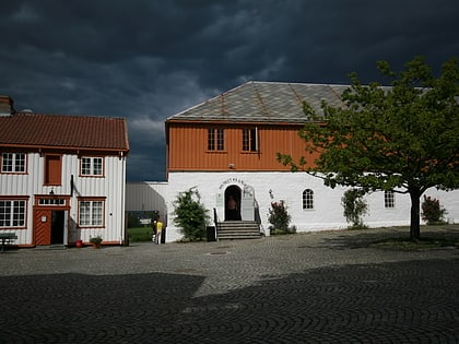
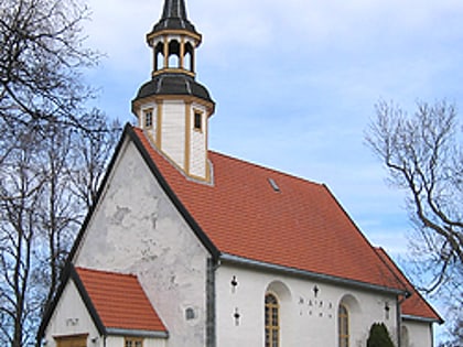
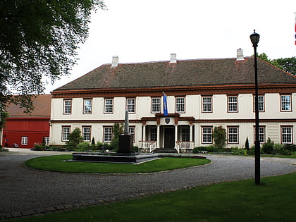
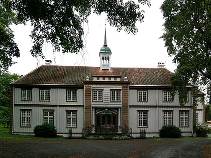
Nearby attractions include: Ringve Museum, Ladestien, Lade Church, Lade Mansion.
Frequently Asked Questions (FAQ)
Which popular attractions are close to Kjerringberget?
Nearby attractions include Lade Mansion, Trondheim (10 min walk), Lade Church, Trondheim (11 min walk), Ladehammeren, Trondheim (14 min walk), Ringve Museum, Trondheim (16 min walk).
How to get to Kjerringberget by public transport?
The nearest stations to Kjerringberget:
Bus
Train
Bus
- Ringve skole • Lines: 20 (8 min walk)
- Lade gård • Lines: 20 (9 min walk)
Train
- Lilleby (22 min walk)
- Lademoen (31 min walk)

