Sjettebreen, Nordvest-Spitsbergen National Park

Map
Facts and practical information
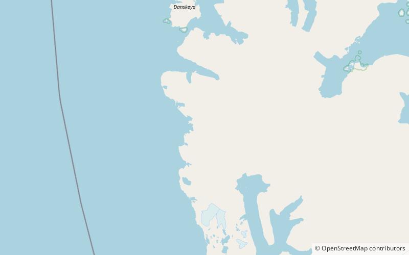
Sjettebreen is a glacier in Albert I Land at Spitsbergen, Svalbard. It is located south of the peninsula Hoelhalvøya. The glacier debouches into the sea at the west coast of Spitsbergen. It is named as the sixth out of seven glaciers ending into the sea at the coast between Krossfjorden and Magdalenefjorden, counting from south. ()
Coordinates: 79°27'3"N, 11°7'6"E
Address
Nordvest-Spitsbergen National Park
ContactAdd
Social media
Add
Day trips
Sjettebreen – popular in the area (distance from the attraction)
Nearby attractions include: Waggonwaybreen.
