Waggonwaybreen, Nordvest-Spitsbergen National Park

Gallery (1)
Map
Map
Facts and practical information
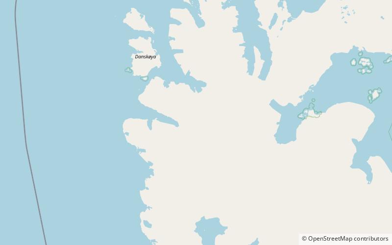
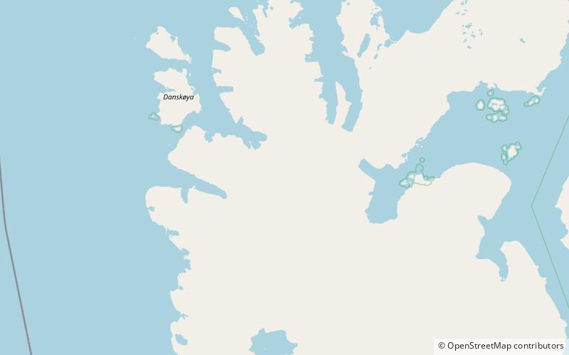
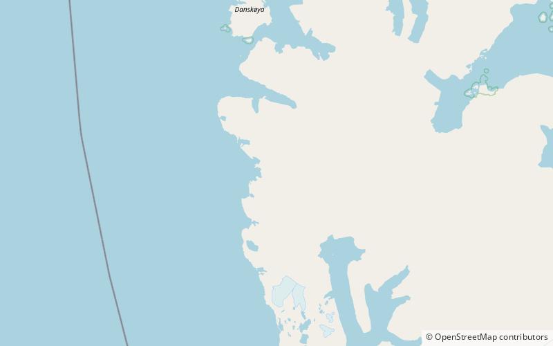
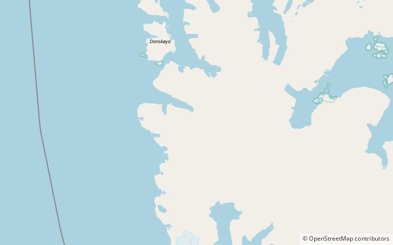
Waggonwaybreen is a glacier in Albert I Land at Spitsbergen, Svalbard. It has a length of about seven kilometers, and debouches into Magdalenefjorden. ()
Coordinates: 79°31'19"N, 11°18'34"E
Address
Nordvest-Spitsbergen National Park
ContactAdd
Social media
Add
Day trips