Fallièresfjella, Nordvest-Spitsbergen National Park
Map
Facts and practical information
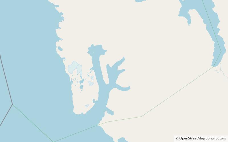
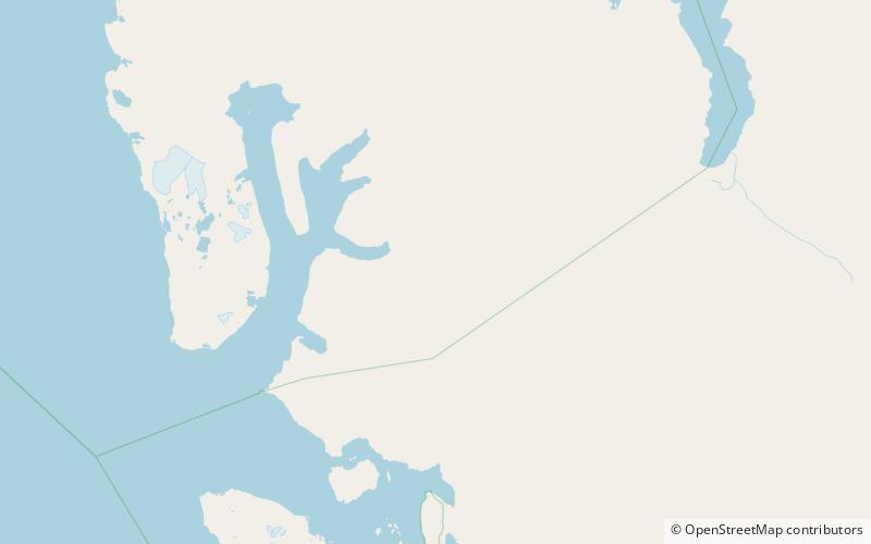
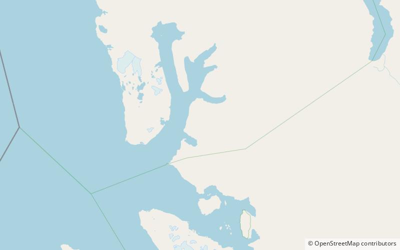
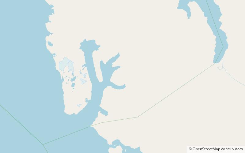
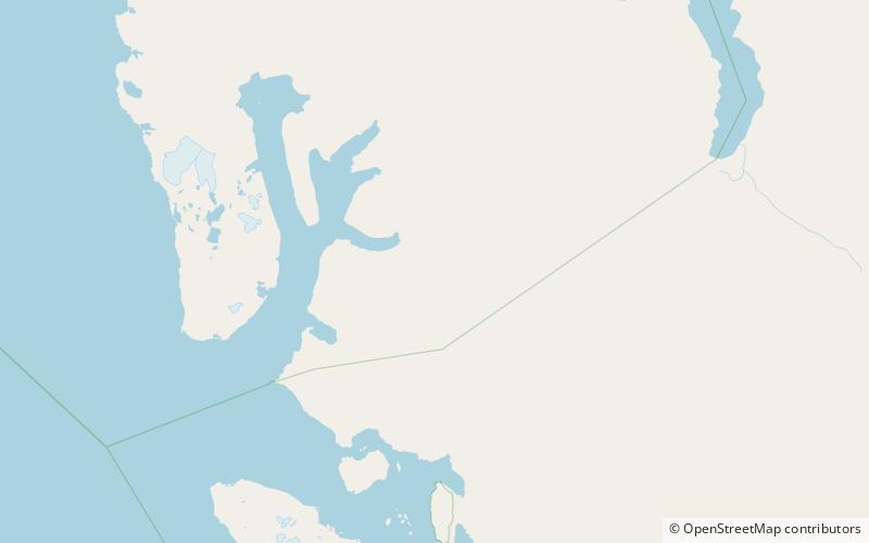
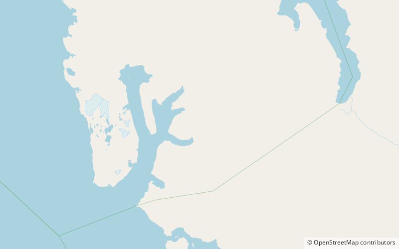
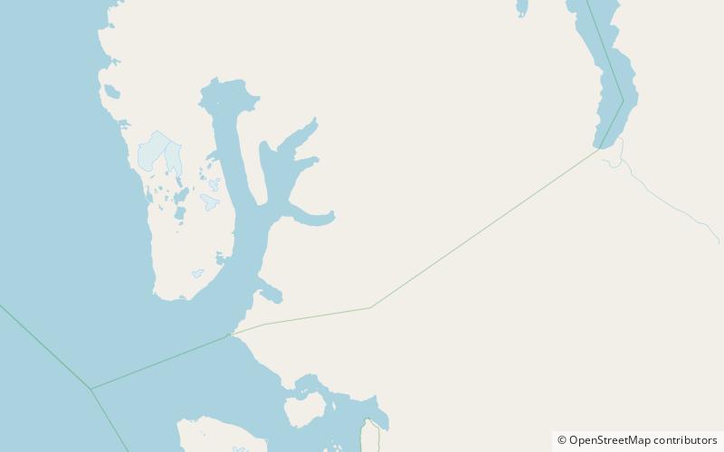
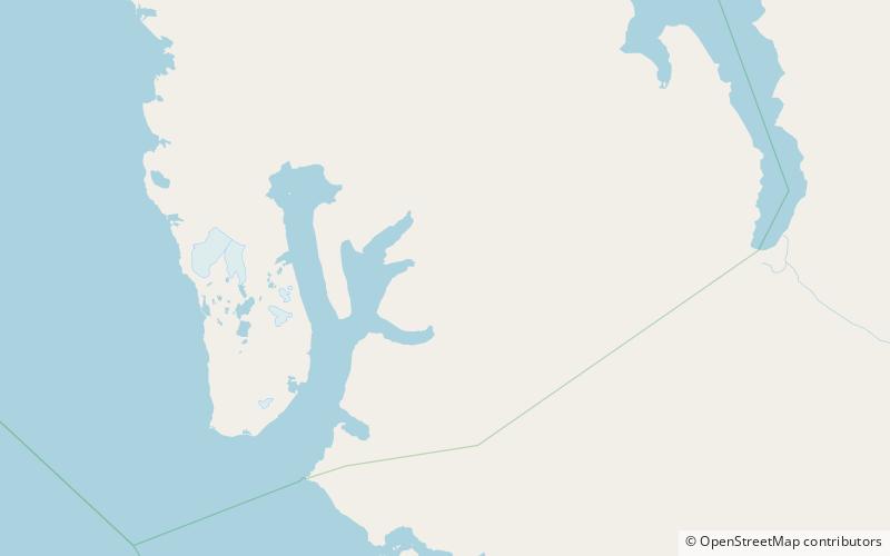
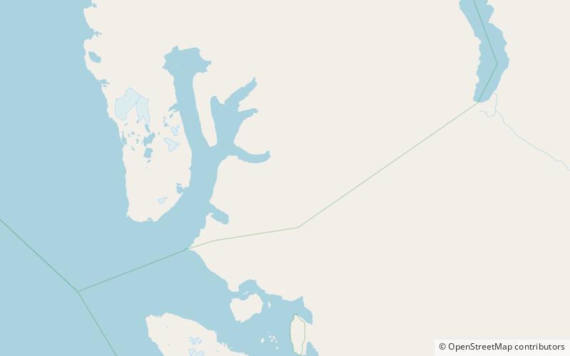
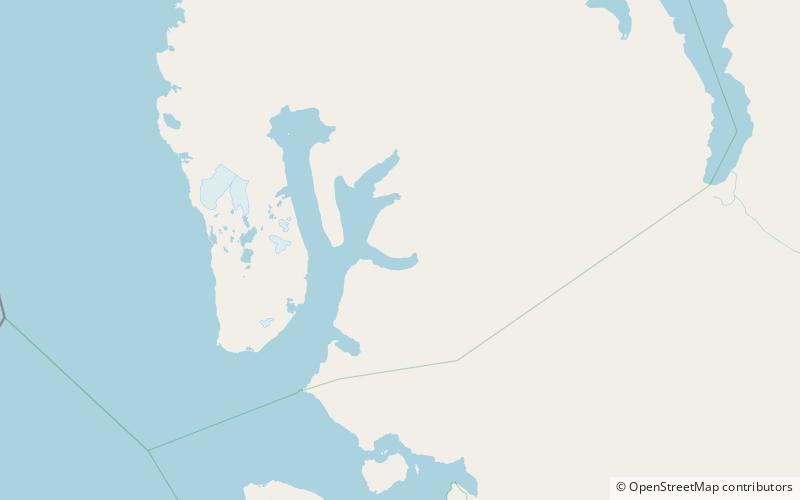
Fallièresfjella is a mountain group in Haakon VII Land at Spitsbergen, Svalbard. It is located north of the bay of Tinayrebukta and the glacier of Tinayrebreen. The highest peak reaches a height of 1,039 m.a.s.l. and the mountain group has an extension of about six kilometers. The mountain group is named after French politician Armand Fallières. ()
Coordinates: 79°12'47"N, 12°10'52"E
Address
Nordvest-Spitsbergen National Park
ContactAdd
Social media
Add
Day trips