Kiliantoppen, Nordvest-Spitsbergen National Park
Map
Facts and practical information
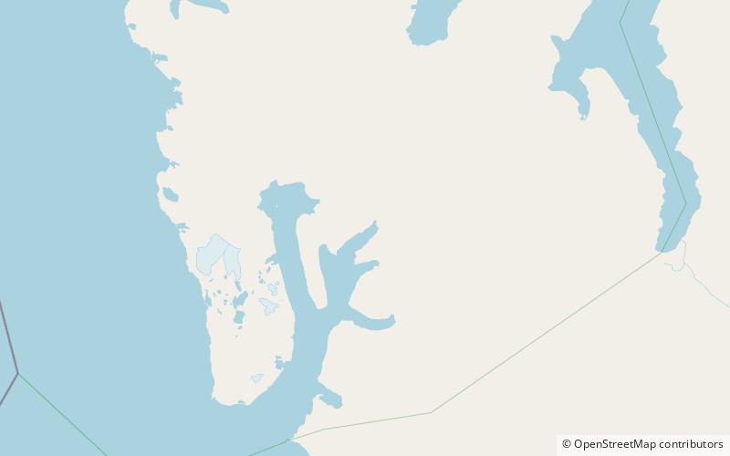
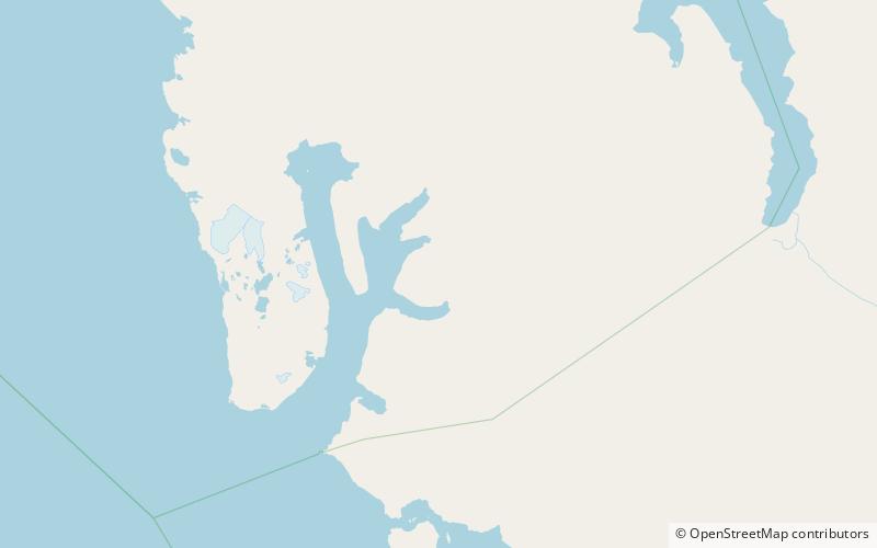
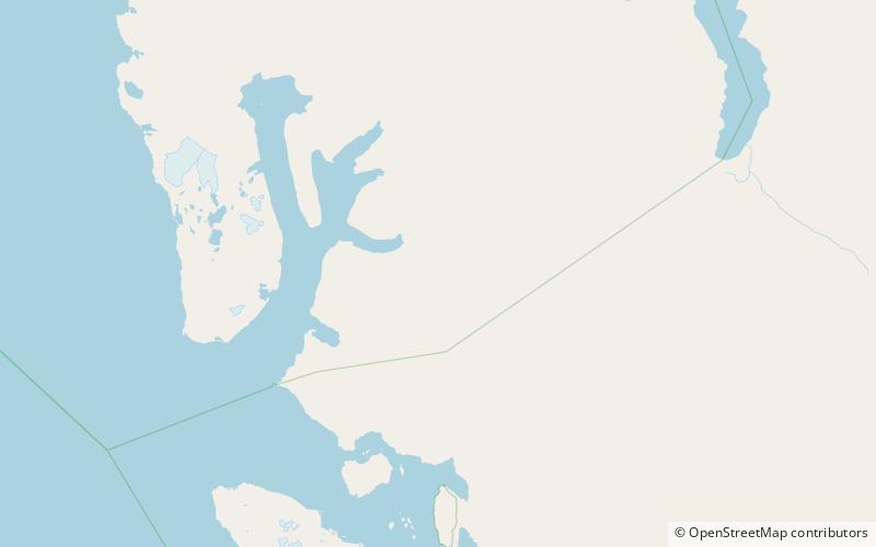
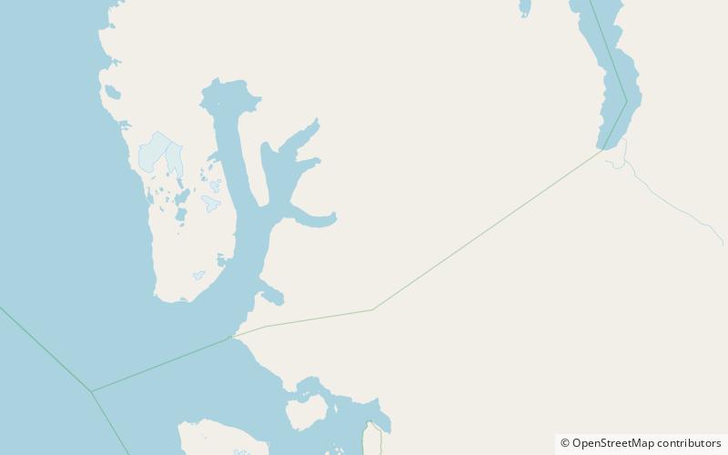
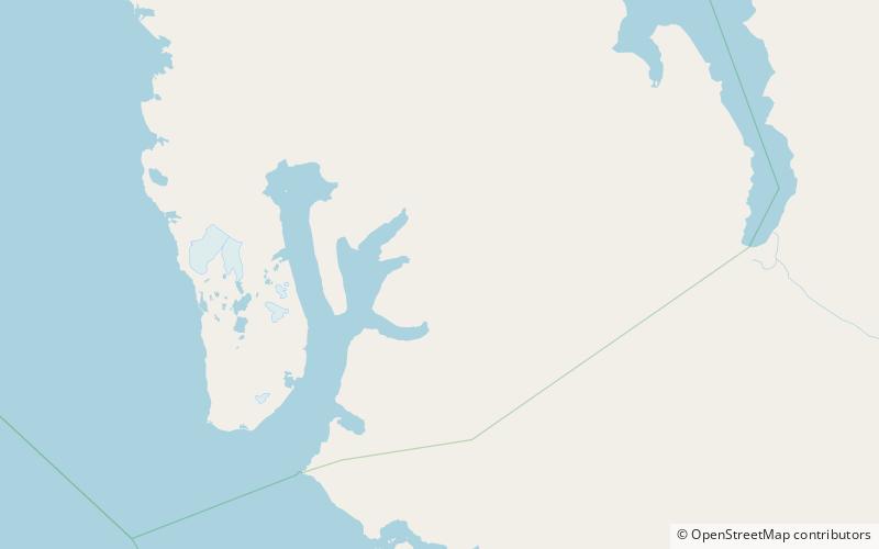
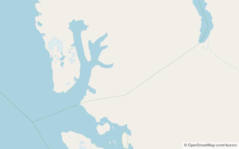
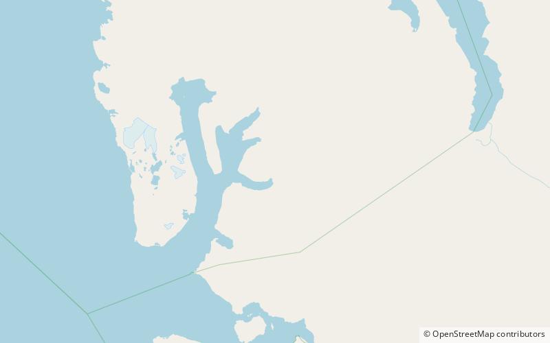
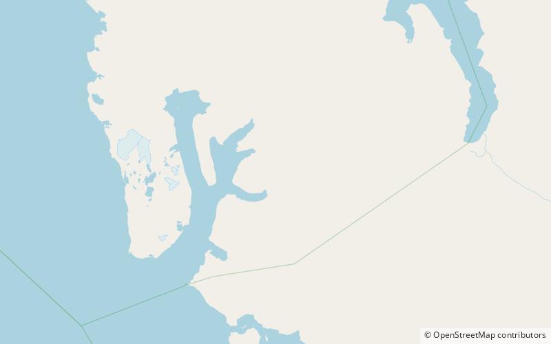
Kiliantoppen is a mountain in Haakon VII Land at Spitsbergen, Svalbard. The mountain has a height of 1284 m.a.s.l. and is located east of the bay of Möllerfjorden, between the glaciers of Presidentbreen and Mayerbreen. It is named after French geologist Charles Wilfrid Kilian. ()
Coordinates: 79°14'11"N, 12°20'31"E
Address
Nordvest-Spitsbergen National Park
ContactAdd
Social media
Add
Day trips
Kiliantoppen – popular in the area (distance from the attraction)
Nearby attractions include: Haakon VII Land, Möllerfjorden, Foreltinden, Fallièresfjella.
