Konglomeratfjellet, Sør-Spitsbergen National Park
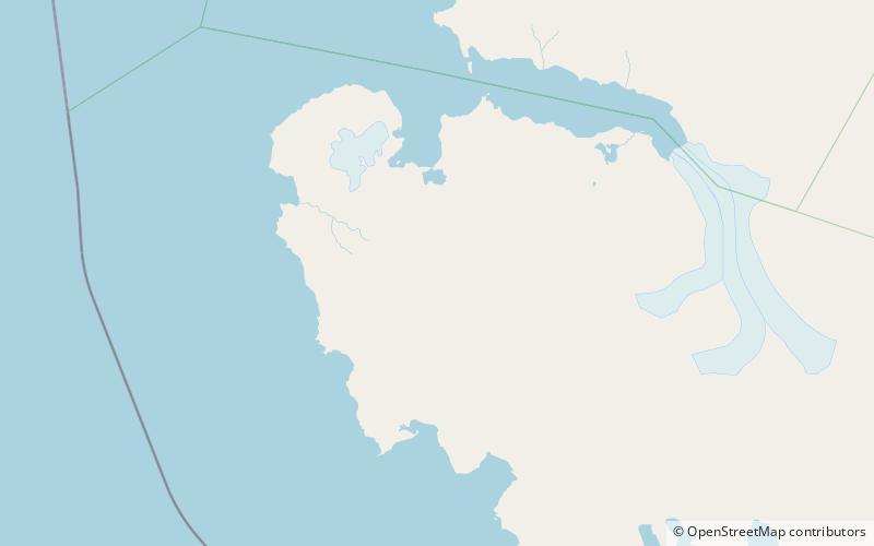
Map
Facts and practical information
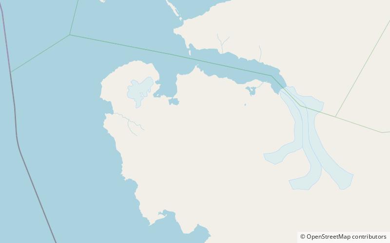
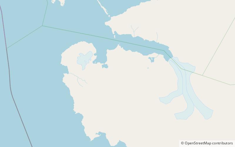
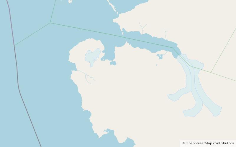
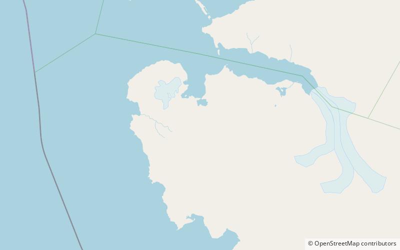
Konglomeratfjellet is a mountain in Wedel Jarlsberg Land at Spitsbergen, Svalbard. It has a length of about three kilometers, with two summits, the highest peak of 798 m.a.s.l. It is located between Dunderdalen and the Recherchebreen glacier complex, at the northern side of Dunderdalsbreen. Geologically, the mountain consists of conglomerate, which has given its name. The mountain is also the type locality for the Konglomeratfjellet Formation. ()
Elevation: 2618 ftCoordinates: 77°22'25"N, 14°44'41"E
Address
Sør-Spitsbergen National Park
ContactAdd
Social media
Add
Day trips
Konglomeratfjellet – popular in the area (distance from the attraction)
Nearby attractions include: Dolomittfjellet, Gavltoppane, Foldnutane, Recherchebreen.
