Gavltoppane, Sør-Spitsbergen National Park
Map
Facts and practical information
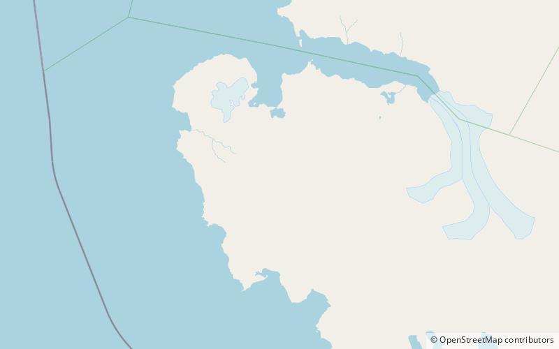
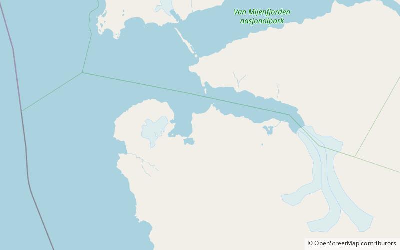
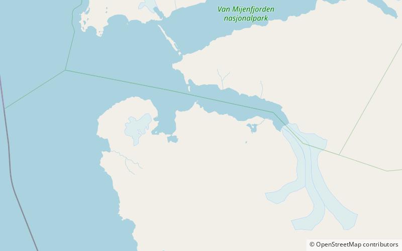
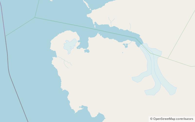
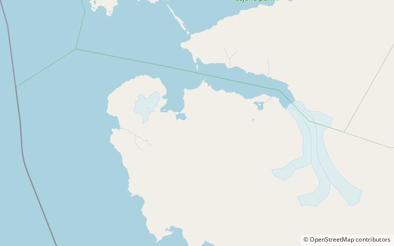
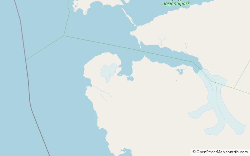
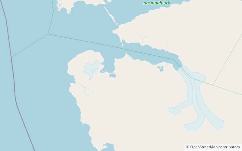
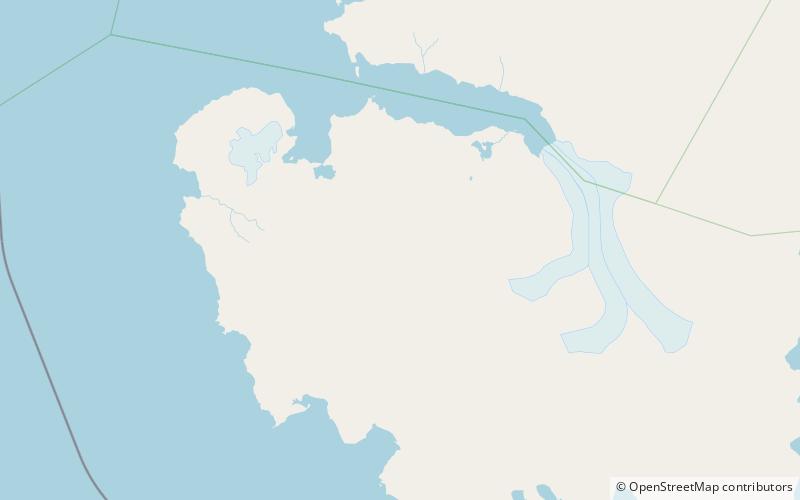
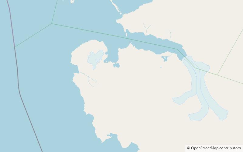
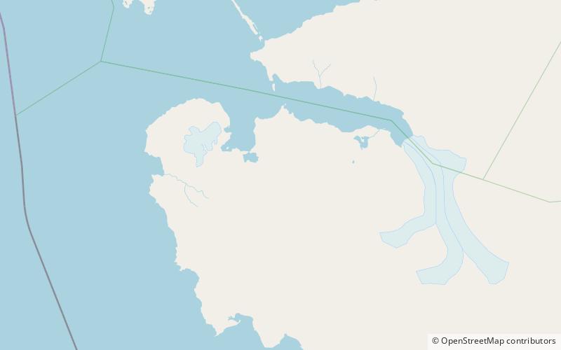
Gavltoppane is a ridge with three peaks in Wedel Jarlsberg Land at Spitsbergen, Svalbard. They are located south in the Martinfjella mountain range, north of Dolomittpasset and Dolomittfjellet. The western peak is 888 m.a.s.l. the middle peak is 801, and the eastern peak is 718 m.a.s.l. ()
Coordinates: 77°26'57"N, 14°57'45"E
Address
Sør-Spitsbergen National Park
ContactAdd
Social media
Add
Day trips
Gavltoppane – popular in the area (distance from the attraction)
Nearby attractions include: Recherche Fjord, Konglomeratfjellet, Maria Theresiatoppen, Berzeliustinden.

