Julhøgda, Sør-Spitsbergen National Park
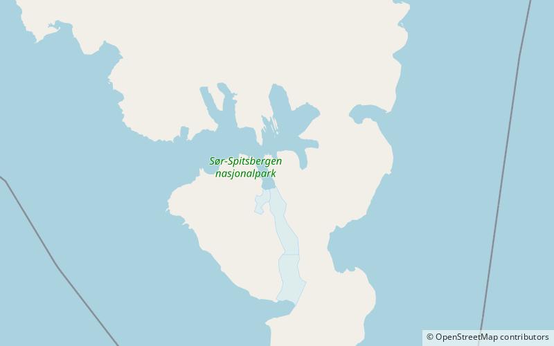
Map
Facts and practical information
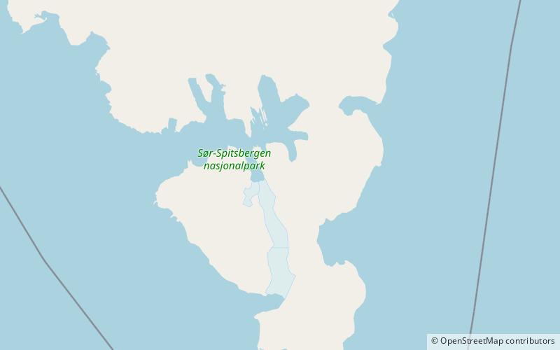
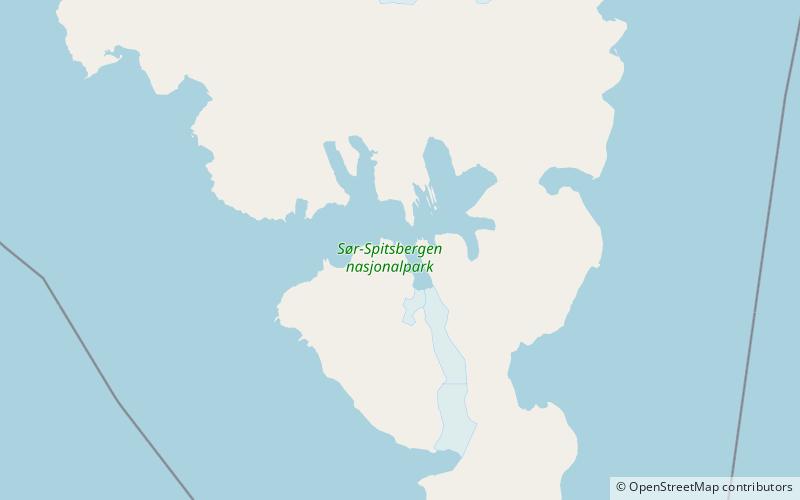
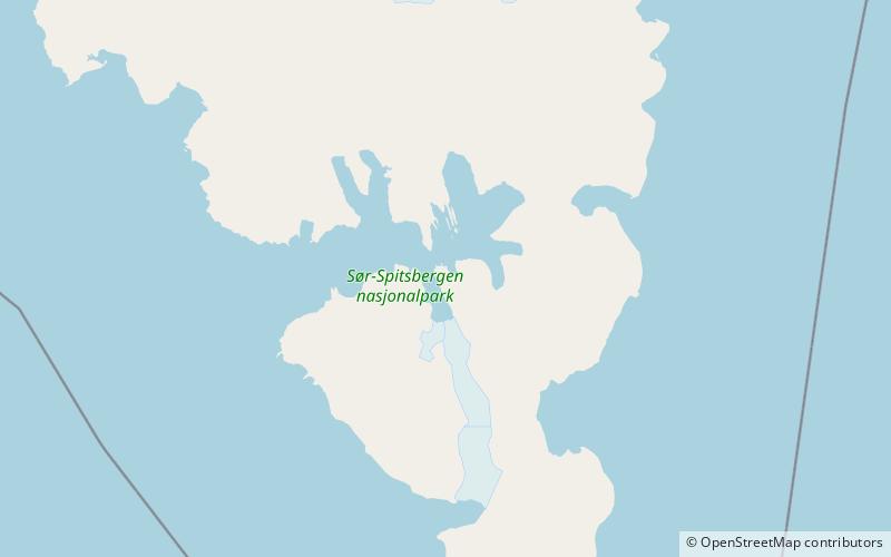
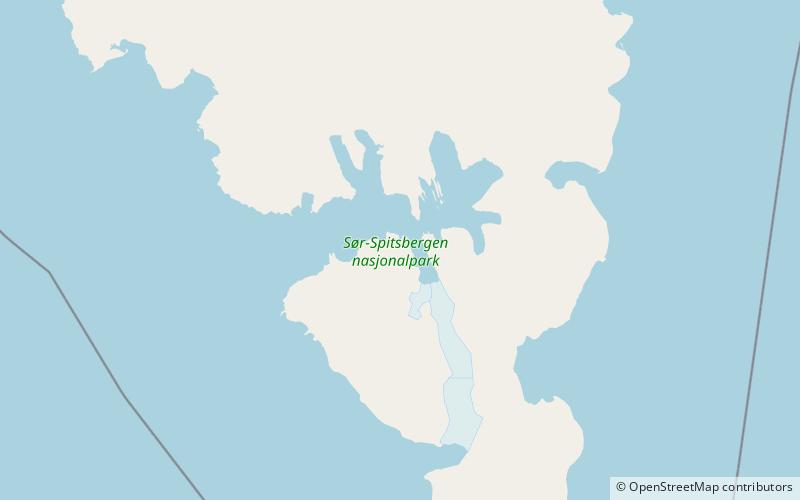
Julhøgda is a mountain in Sørkapp Land at Spitsbergen, Svalbard. It has a height of 667 m.a.s.l. and is located on the mountain ridge Påskefjella, east of Samarinbreen and Samarinvågen, and west of the glacier Chomjakovbreen. Neighbour peaks are Påsketoppen to the south and Meranfjellet to the north. ()
Coordinates: 76°56'25"N, 16°22'14"E
Address
Sør-Spitsbergen National Park
ContactAdd
Social media
Add
Day trips
Julhøgda – popular in the area (distance from the attraction)
Nearby attractions include: Hornsundtind, Samarinbreen, Bredichinryggen, Påskefjella.
Frequently Asked Questions (FAQ)
Which popular attractions are close to Julhøgda?
Nearby attractions include Påskefjella, Sør-Spitsbergen National Park (15 min walk), Påsketoppen, Sør-Spitsbergen National Park (23 min walk), Chomjakovbreen, Sør-Spitsbergen National Park (24 min walk).


