Gedenovfjellet, Sør-Spitsbergen National Park

Map
Facts and practical information
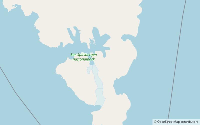
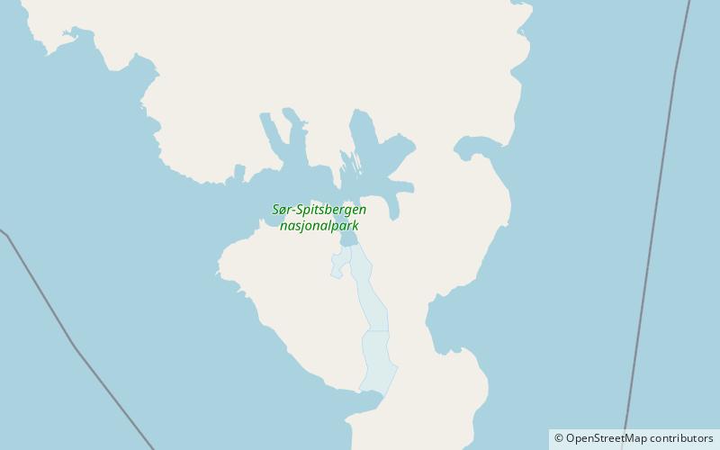
Gedenovfjellet is a mountain ridge in Sørkapp Land at Spitsbergen, Svalbard. It has a length of about four kilometers, with a highest peak of 456 m.a.s.l. The ridge is located between Øydebreen and Austjøkulen. It is separated from the northern ridge Isryggen by the mountain pass Isryggpasset. The ridge is named after Russian astronomer Dmitrij Dmitrievich Gedenov. ()
Coordinates: 76°52'11"N, 16°41'42"E
Address
Sør-Spitsbergen National Park
ContactAdd
Social media
Add
Day trips
Gedenovfjellet – popular in the area (distance from the attraction)
Nearby attractions include: Samarinbreen, Bredichinryggen, Brendetoppane, Påskefjella.


