Høgafjellet, Osterøy

Map
Facts and practical information
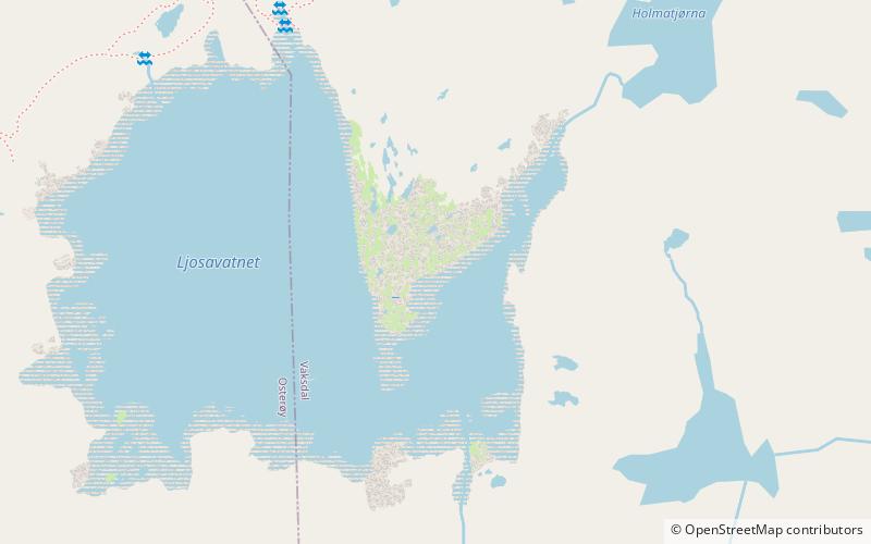
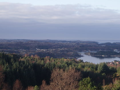
Høgafjellet is a mountain on the island of Osterøy in Vestland county, Norway. Høgafjellet sits on the border between the municipalities of Osterøy and Vaksdal, about 8 kilometres east of the village of Fotlandsvåg and about 2 kilometres west of the Veafjorden. The 857-metre tall mountain is the highest mountain on the island and in all of Osterøy municipality. ()
Address
Osterøy
ContactAdd
Social media
Add
Day trips
Høgafjellet – popular in the area (distance from the attraction)
Nearby attractions include: Scandinavian coastal conifer forests, Kallestadsundet Bridge, Dale Church, Stamnes Church.


