Kallestadsundet Bridge
Map

Map

Facts and practical information
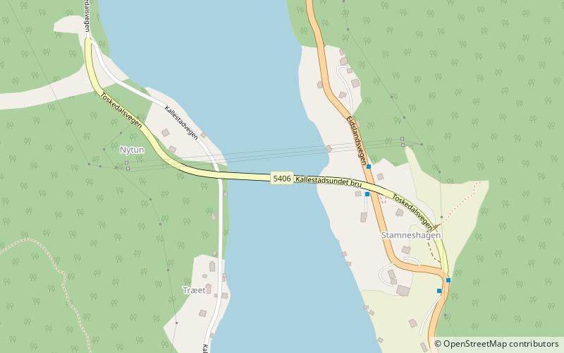
The Kallestadsundet Bridge is a bridge over the Veafjorden in Vaksdal municipality in Vestland county, Norway. The 200-metre-long bridge links the mainland part of Vaksdal municipality to the part that lies on the island of Osterøy. The bridge lies about 1 kilometre northwest of the village of Stamneshella. The bridge was opened in 1985 and it was the first bridge to connect Osterøy island to the mainland. In 1997, the Osterøy Bridge was opened for traffic, as the second bridge to Osterøy island. ()
Local name: Kallestadsundet bru Opened: 1985 (41 years ago)Length: 656 ftCoordinates: 60°40'28"N, 5°44'10"E
Location
Hordaland
ContactAdd
Social media
Add
Day trips
Kallestadsundet Bridge – popular in the area (distance from the attraction)
Nearby attractions include: Vike Church, Stamnes Church, Høgafjellet.


