Observatoriefjellet, Sør-Spitsbergen National Park
#53 among attractions in Sør-Spitsbergen National Park
Facts and practical information
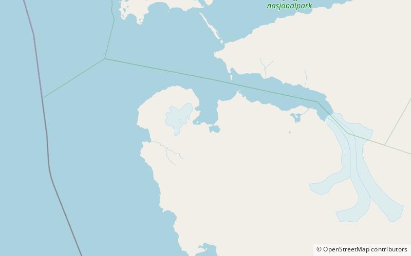
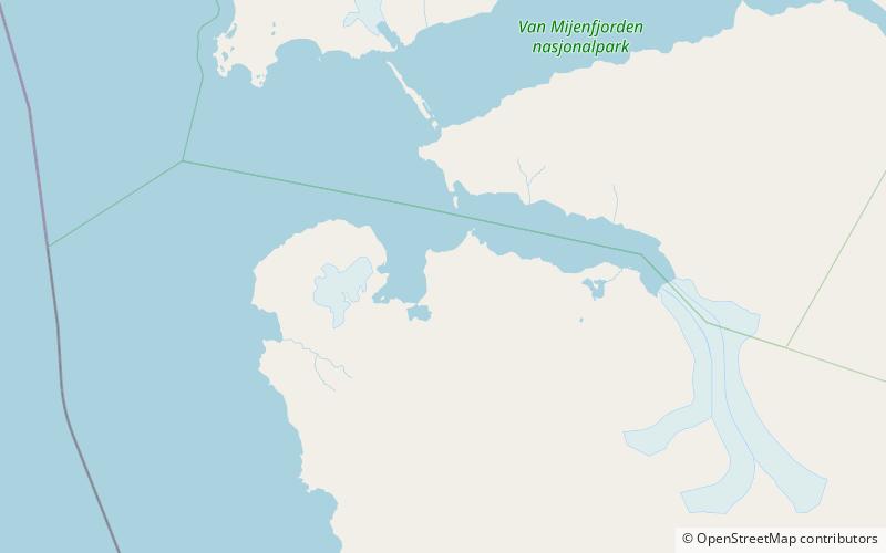
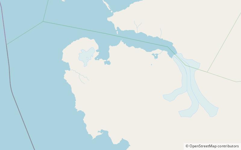
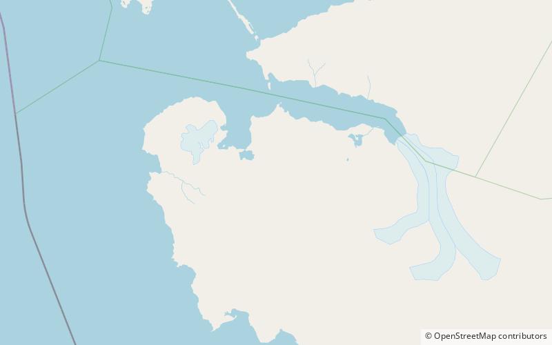
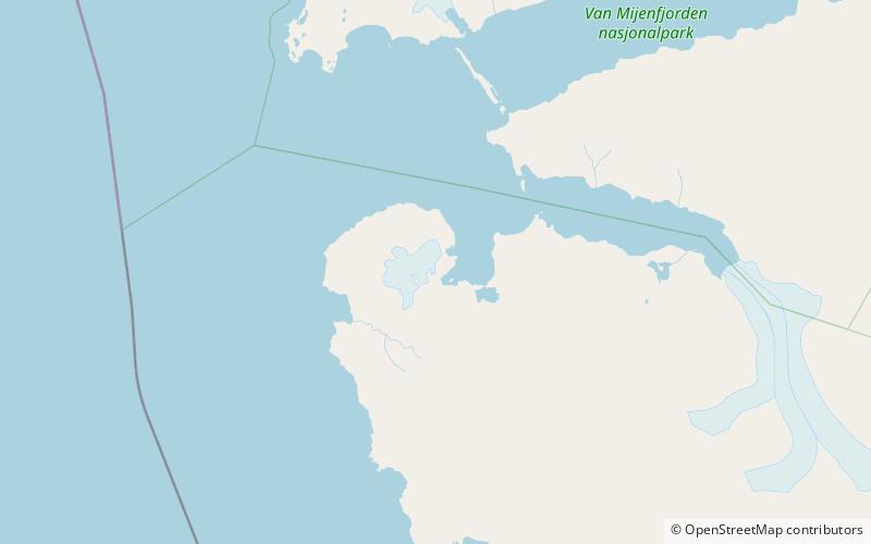
Observatoriefjellet is a mountain in Wedel Jarlsberg Land at Spitsbergen, Svalbard. It reaches an elevation of 576 meters, and is located at the inner end of Recherche Fjord, between the two bays Fagerbukta and Vestervågen. ()
Sør-Spitsbergen National Park Norway
Observatoriefjellet – popular in the area (distance from the attraction)
Nearby attractions include: Recherche Fjord, Dunderdalen, Wijkanderberget, Bohlinryggen.
 Nature, Natural attraction, Fjord
Recherche Fjord, Sør-Spitsbergen National Park
79 min walk • Recherche Fjord is a small fjord on the south side of Bellsund, Spitsbergen. The glacier Recherchebreen debouches into the fjord from south, and Renardbreen from west.
 Nature, Natural attraction, Valley
Dunderdalen, Sør-Spitsbergen National Park
151 min walk • Dunderdalen is a valley on Wedel Jarlsberg Land within the Sør-Spitsbergen National Park, on the southwestern part of Spitsbergen, Svalbard. The valley has a length of about 16 km, and opens into Dunderbukta.
 Nature, Natural attraction, Mountain
Wijkanderberget, Sør-Spitsbergen National Park
173 min walk • Wijkanderberget is a mountain in Wedel Jarlsberg Land at Spitsbergen, Svalbard. It is named after Swedish physicist and astronomer August Wijkander, who joined Nordenskiöld's expedition of 1872.
 Nature, Natural attraction, Mountain
Bohlinryggen, Sør-Spitsbergen National Park
132 min walk • Bohlinryggen is a mountain ridge in Wedel Jarlsberg Land at Spitsbergen, Svalbard. It has a length of about 4.5 kilometers, and the highest peak is 716 m.a.s.l. It is located between the glaciers Scottbreen and Renardbreen. The ridge is named after Swedish astronomer Karl Bohlin.
 Nature, Natural attraction, Mountain
Maria Theresiatoppen, Sør-Spitsbergen National Park
105 min walk • Maria Theresiatoppen is a mountain in Wedel Jarlsberg Land at Spitsbergen, Svalbard. The mountain has a height of 653 m.a.s.l. and is the northernmost summit in the Martinfjella mountain range.
 Nature, Natural attraction, Natural feature
Renardbreen, Sør-Spitsbergen National Park
121 min walk • Renardbreen is a glacier in Wedel Jarlsberg Land at Spitsbergen, Svalbard. The glacier has a length of about 8 kilometers. It is located between the ridges of Activekammen and Bohlinryggen, and debouches into Recherche Fjord.
 Nature, Natural attraction, Mountain
Dolomittfjellet, Sør-Spitsbergen National Park
157 min walk • Dolomittfjellet is a mountain in Wedel Jarlsberg Land at Spitsbergen, Svalbard. It is located south of Martinfjella and Dolomittpasset, northwest of Skarvpasset. The mountain has two peaks, of 891 and 776 m.a.s.l. respectively. At the southwest side is the glacier Recherchebreen. Geologically, the mountain consists mainly of dolomite.
 Nature, Natural attraction, Mountain
Gavltoppane, Sør-Spitsbergen National Park
139 min walk • Gavltoppane is a ridge with three peaks in Wedel Jarlsberg Land at Spitsbergen, Svalbard. They are located south in the Martinfjella mountain range, north of Dolomittpasset and Dolomittfjellet. The western peak is 888 m.a.s.l. the middle peak is 801, and the eastern peak is 718 m.a.s.l.
 Nature, Natural attraction, Mountain
Activekammen, Sør-Spitsbergen National Park
74 min walk • Activekammen is a mountain ridge in Wedel Jarlsberg Land at Spitsbergen, Svalbard. It has a length of about three kilometers, and the highest peak is 634 m.a.s.l. It is located between Vestervågen and the glacier Renardbreen. The ridge is named after the British vessel Active.
 Nature, Natural attraction, Mountain
Bienaimétoppane, Sør-Spitsbergen National Park
110 min walk • Bienaimétoppane are two mountain peaks in Wedel Jarlsberg Land at Spitsbergen, Svalbard. They reach the heights of 767 and 763 m.a.s.l. and are located in the Martinfjella mountain range.
 Nature, Natural attraction, Mountain
Durochertoppen, Sør-Spitsbergen National Park
97 min walk • Durochertoppen is a mountain peak in Wedel Jarlsberg Land at Spitsbergen, Svalbard. It has a height of 782 m.a.s.l. and is located in the Martinfjella mountain range. The summit is named after French geologist Joseph Marie Elisabeth Durocher.