Leirungstinden, Jotunheimen
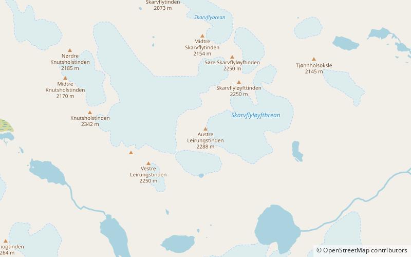
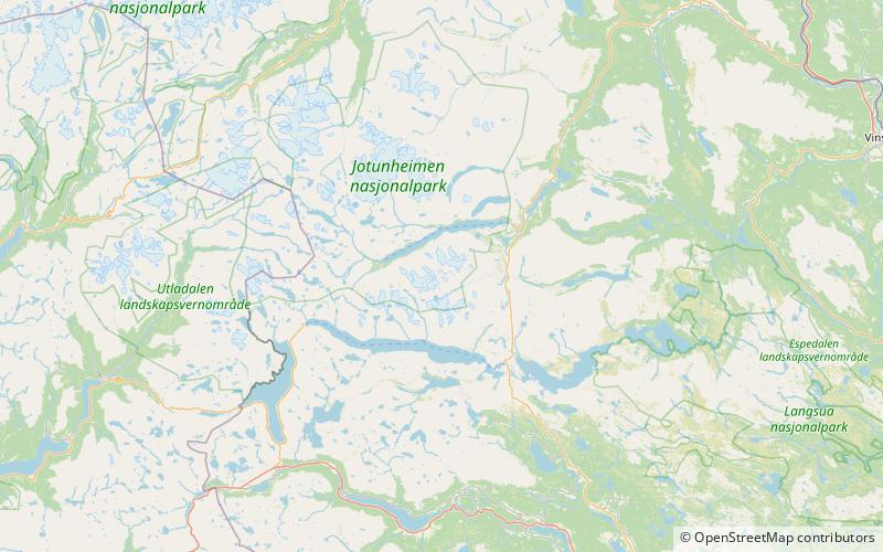
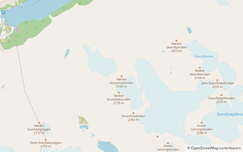
Map
Facts and practical information
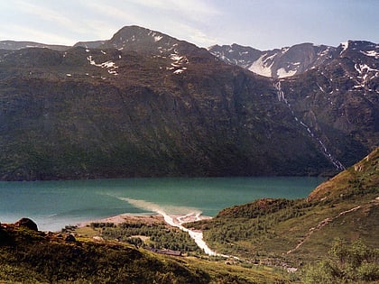
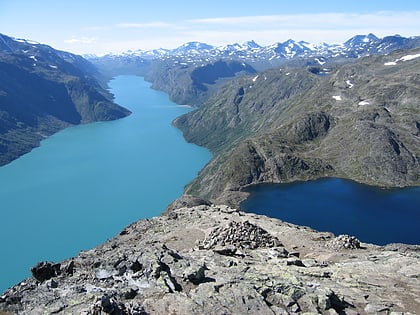
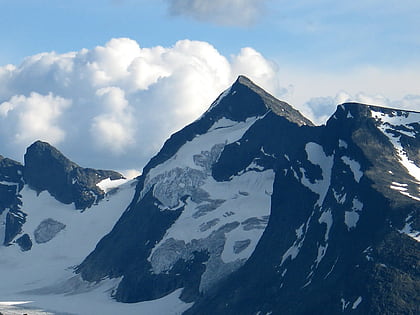
Leirungstinden is a mountain of Oppland, in southern Norway. The eastern of the two peaks is the highest, reaching 2,288 m above sea level. The western peak reaches 2,250 m a.s.l. ()
Local name: Austre Leirungstinden Elevation: 7507 ftProminence: 951 ftCoordinates: 61°25'18"N, 8°36'3"E
Address
Jotunheimen
ContactAdd
Social media
Add
Day trips
Leirungstinden – popular in the area (distance from the attraction)
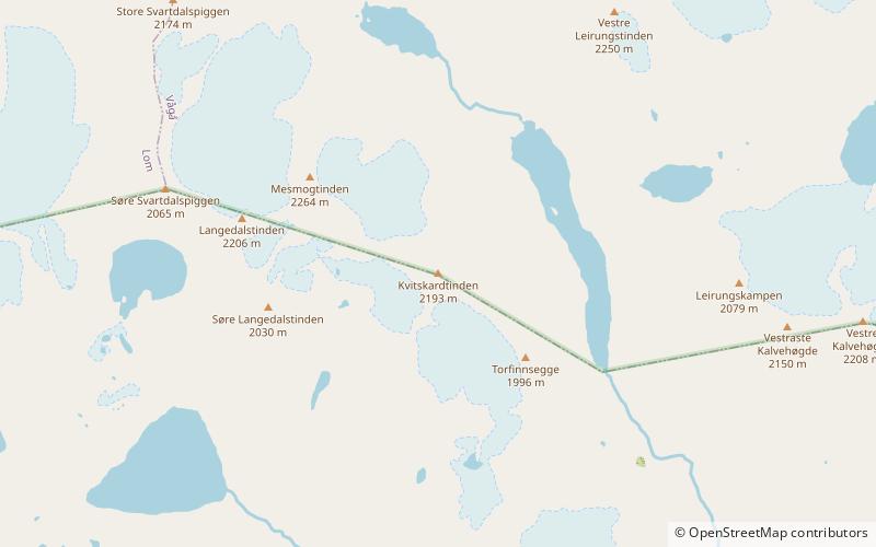
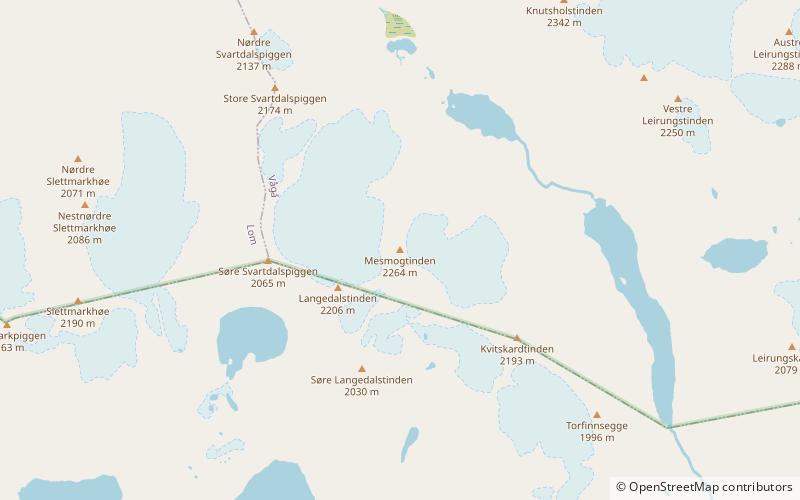
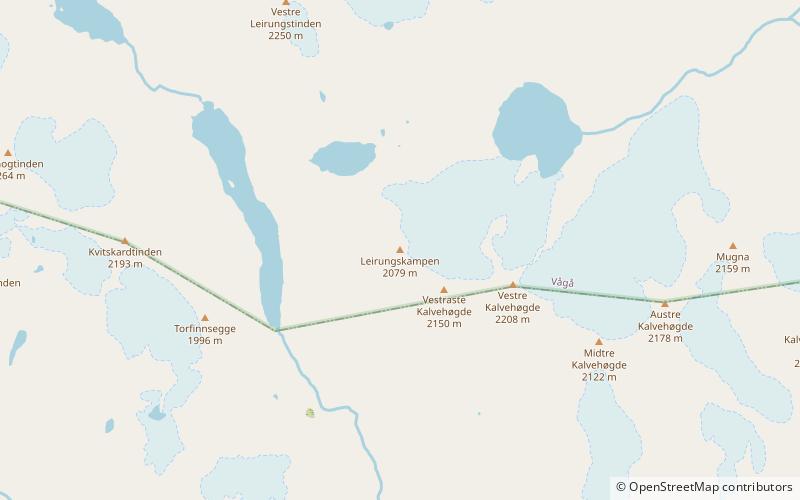
Nearby attractions include: Memurubu, Gjende, Kvitskardtinden, Høgdebrotet.
