Kalvehøgde, Jotunheimen
Map
Gallery
Facts and practical information
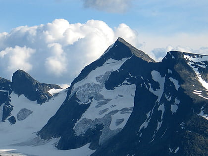
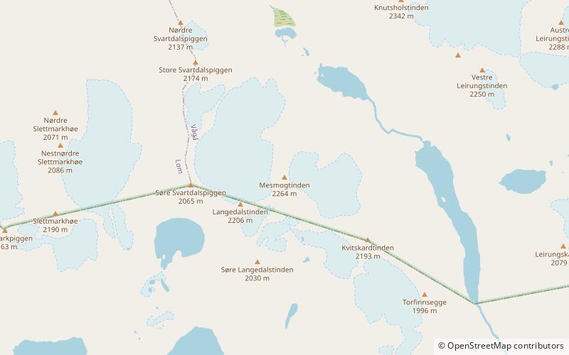
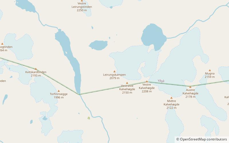
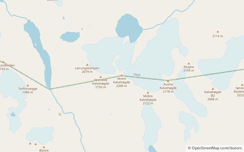
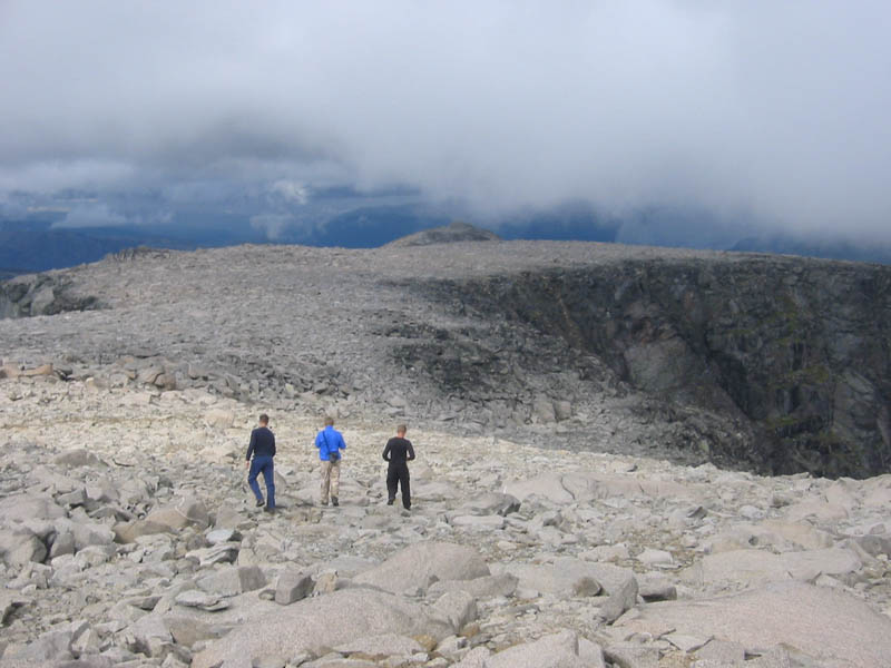
Kalvehøgde is a 10 km long massif in the southernmost part of the Jotunheimen mountain range. The northern part of the massif lies within Jotunheimen National Park. The massif rises quite slowly from lake Bygdin, and ends in an extremely steep wall to the north. The wall is about 500 to 700 m high. On the northern side of the massif, there are several glaciers, with Leirungsbrean as the greatest. On the southern slopes there are two smaller glaciers - the Kalveholobrean glaciers. All the glaciers have retreated in the later years. ()
Alternative names: First ascent: 1820Elevation: 7244 ftProminence: 1739 ftCoordinates: 61°23'34"N, 8°37'15"E
Address
Jotunheimen
ContactAdd
Social media
Add
Day trips
Kalvehøgde – popular in the area (distance from the attraction)
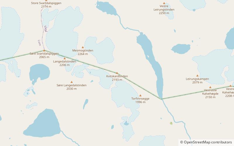
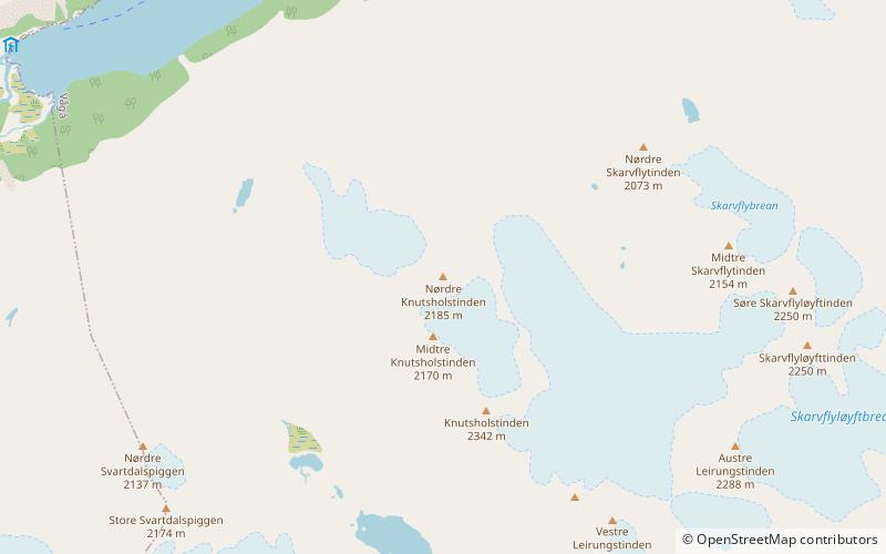
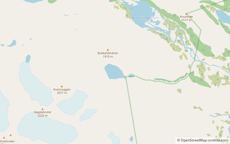
Nearby attractions include: Kvitskardtinden, Høgdebrotet, Vesle Knutsholstinden, Tjønnholsoksle.

