Brendetoppane, Sør-Spitsbergen National Park

Map
Facts and practical information
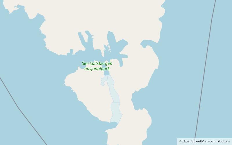
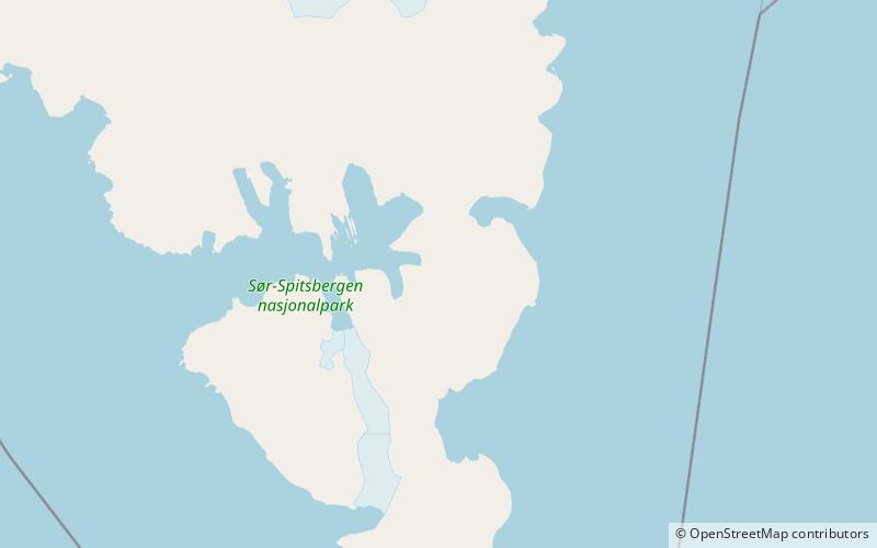
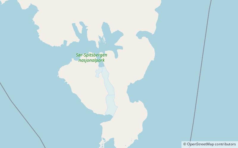
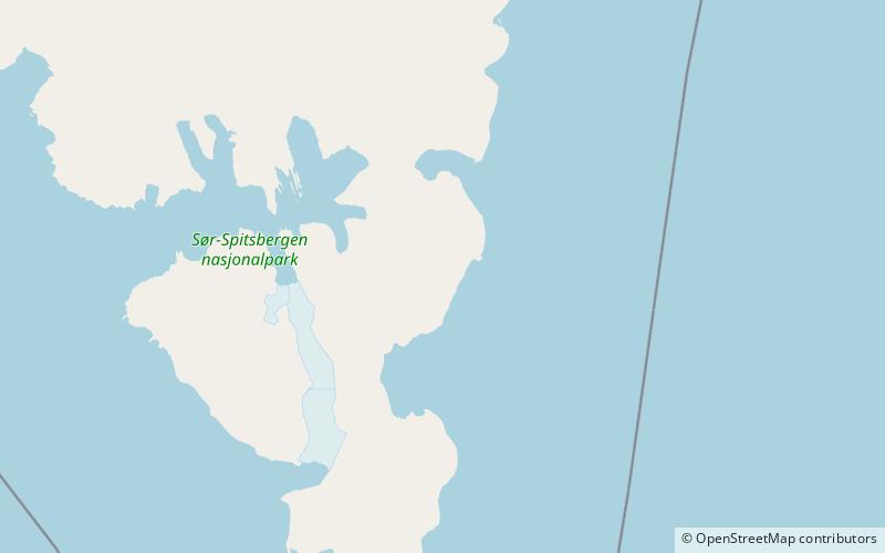
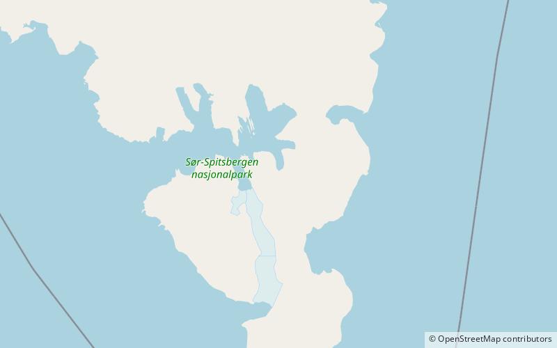
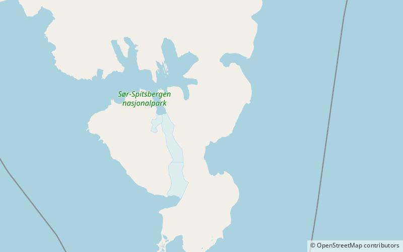
Brendetoppane is a series of mountain peaks in Sørkapp Land at Spitsbergen, Svalbard. They are named after Karl Alfred Brende. The peaks are situated on a ridge between the glacier of Svalisbreen and Skilfonna. The ridge extends from the mountain pass of Svanhildpasset to Evapasset, and is partly covered by ice. ()
Coordinates: 76°55'21"N, 16°49'38"E
Address
Sør-Spitsbergen National Park
ContactAdd
Social media
Add
Day trips
Brendetoppane – popular in the area (distance from the attraction)
Nearby attractions include: Bredichinryggen, Gedenovfjellet, Russefjella, Svalisbreen.
