Fiskeløysvatnet, Junkerdal National Park
Map
Facts and practical information
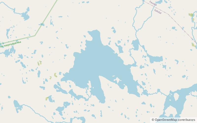
Fiskeløysvatnet or Fisklausvatnet or Guoledisjávrre is a lake that lies in the municipality of Saltdal in Nordland county, Norway. The 2.28-square-kilometre lake is located inside Junkerdal National Park, about 2 kilometres south of the border with Fauske Municipality. ()
Alternative names: Length: 8202 ftWidth: 7546 ftElevation: 2467 ft a.s.l.Coordinates: 67°4'31"N, 15°50'49"E
Address
Junkerdal National Park
ContactAdd
Social media
Add
Day trips
Fiskeløysvatnet – popular in the area (distance from the attraction)
Nearby attractions include: Langvatnet.
