Langvatnet, Sulitjelma
Map

Map

Facts and practical information
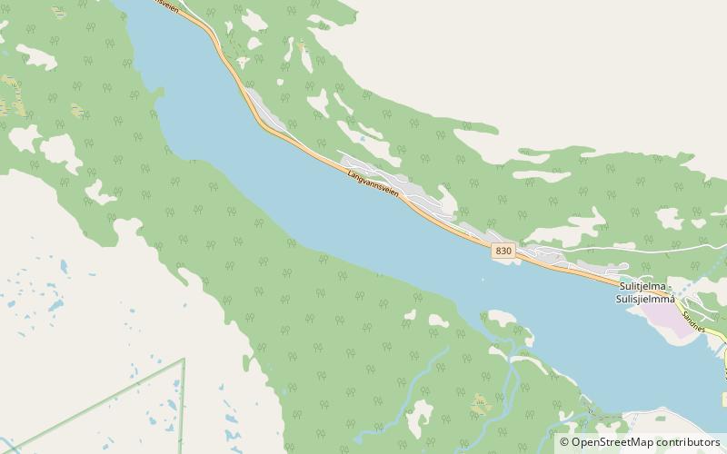
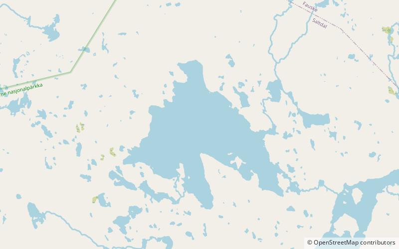
Langvatnet is a lake that lies in Fauske Municipality in Nordland county, Norway. The 5.46-square-kilometre lake lies about 25 kilometres east of the town of Fauske. The village of Sulitjelma lies on the northeastern edge of the lake. Water from the lakes Kjelvatnet and Låmivatnet flow into the lake from the south and east. The water from Langvatnet flows out through the Sjønstå River to the west towards the lake Øvrevatnet. ()
Alternative names: Length: 6.4 miWidth: 2297 ftElevation: 463 ft a.s.l.Coordinates: 67°8'15"N, 16°1'26"E
Address
Sulitjelma
ContactAdd
Social media
Add
Day trips
Langvatnet – popular in the area (distance from the attraction)
Nearby attractions include: Sulitjelma Church, Sulitjelma Chapel, Fiskeløysvatnet, Fossen.


