Klinckowströmfjorden, Nordvest-Spitsbergen National Park
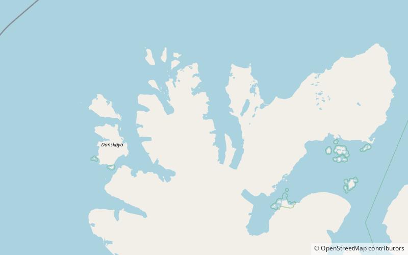
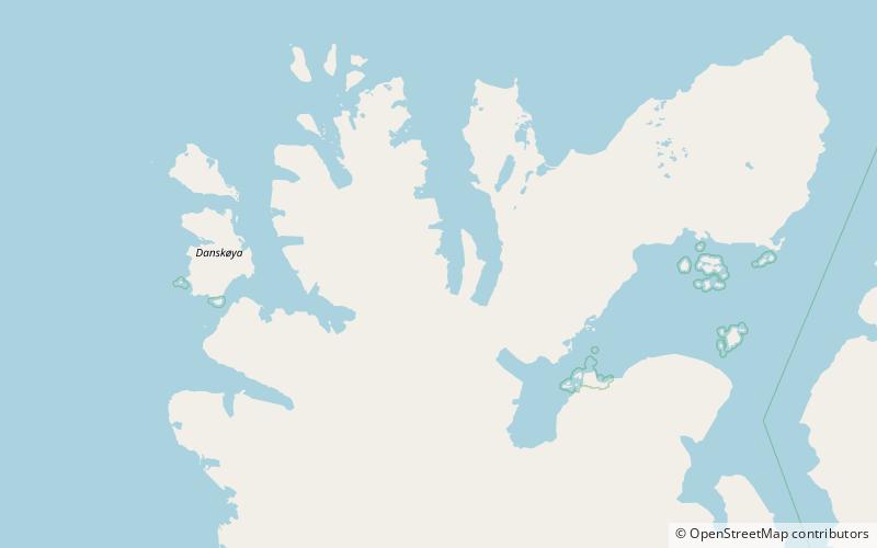
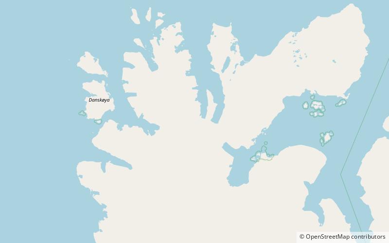
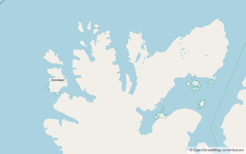
Map
Facts and practical information
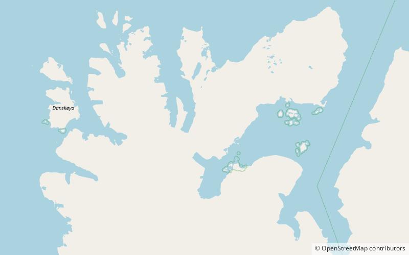
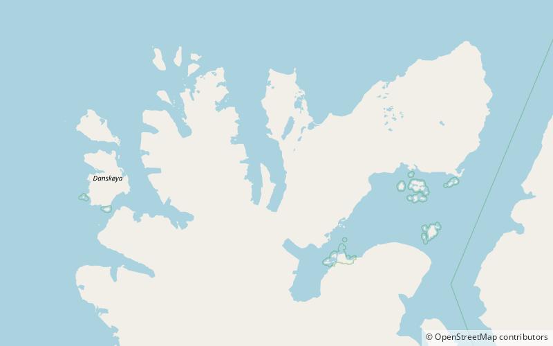
Klinckowströmfjorden is the eastern branch of Raudfjorden at Spitsbergen, Svalbard, on the divide between Albert I Land and Haakon VII Land. It is named after Swedish zoologist Axel Klinckowström. The glacier Raudfjordbreen debouches into the fjord. The peninsula Buchananhalvøya separates Klinckowströmfjorden from the western fjord branch Ayerfjorden. The mountain Ben Nevis is located southeast of the fjord. ()
Coordinates: 79°41'36"N, 12°14'47"E
Address
Nordvest-Spitsbergen National Park
ContactAdd
Social media
Add
Day trips
Klinckowströmfjorden – popular in the area (distance from the attraction)
Nearby attractions include: Stortinden, Raudfjorden, Chauveaubreen, Ayerfjorden.
