Ben Nevis, Nordvest-Spitsbergen National Park
Map
Facts and practical information
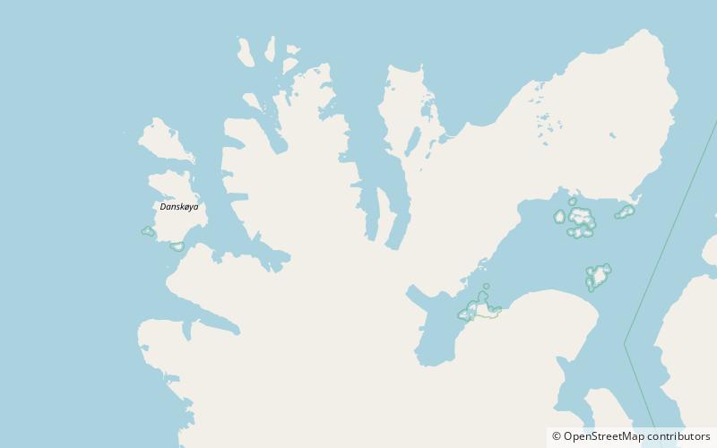
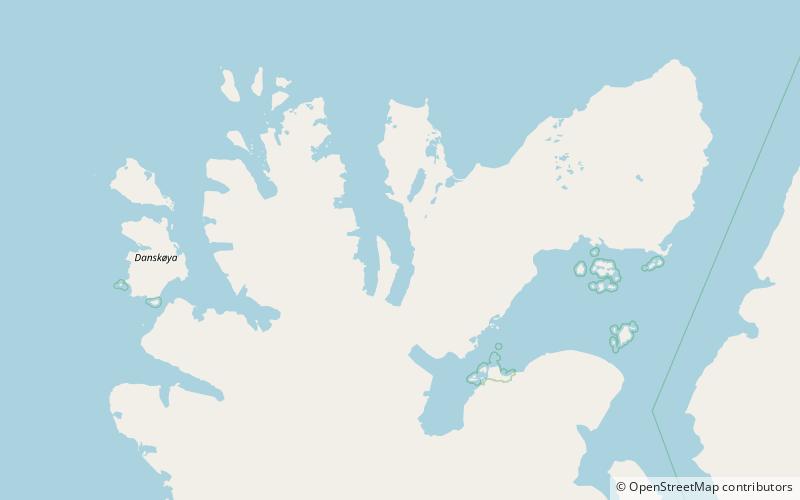
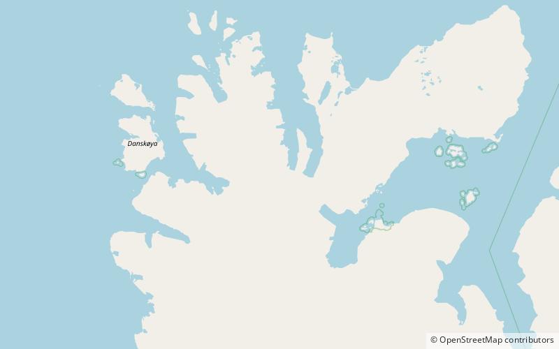
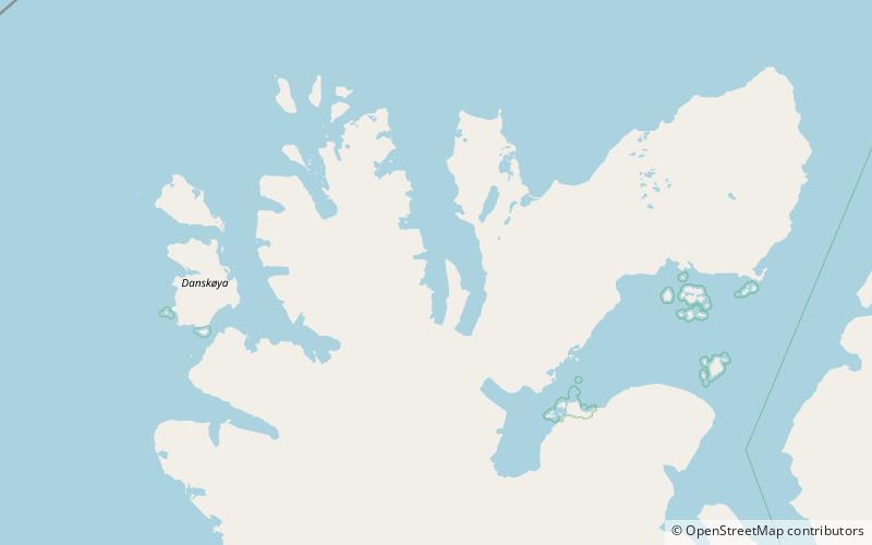
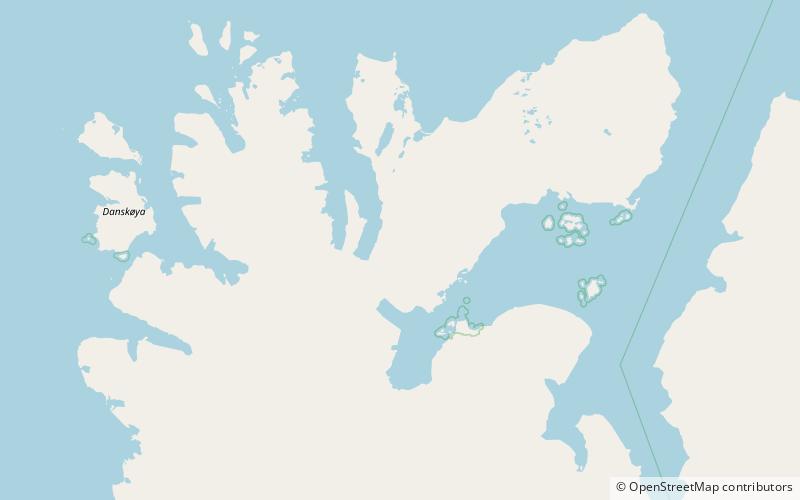
Ben Nevis is a mountain in Albert I Land at Spitsbergen, Svalbard. It is located southeast of the head of the Raudfjorden branch Klinckowströmfjorden, and reaches a height of 922 metres above sea level. It is named after the Scottish mountain Ben Nevis. ()
Coordinates: 79°38'51"N, 12°25'8"E
Address
Nordvest-Spitsbergen National Park
ContactAdd
Social media
Add
Day trips