Vadsøya, Vadsø
Map

Map

Facts and practical information
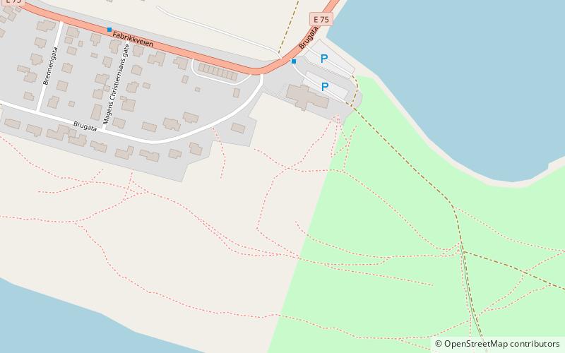
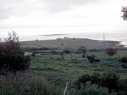
Vadsøya is an island in Vadsø Municipality in Troms og Finnmark county, Norway. The island lies in the Varangerfjorden, just south of the coast of the mainland Varanger Peninsula. The island is part of the town of Vadsø. The 0.8-square-kilometre island is connected to the mainland by a bridge that branches off the European route E75 highway in the centre of the town of Vadsø. The Hurtigruten coastal express boats dock on Vadsøya. ()
Alternative names: Area: 197.68 acres (0.3089 mi²)Maximum elevation: 26 ftCoordinates: 70°4'0"N, 29°44'50"E
Address
Vadsø
ContactAdd
Social media
Add
Day trips
Vadsøya – popular in the area (distance from the attraction)
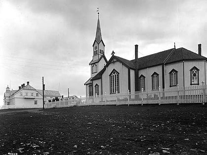
Nearby attractions include: Vadsø Church.

