Nordre Folgefonna, Folgefonna National Park
Map

Map

Facts and practical information
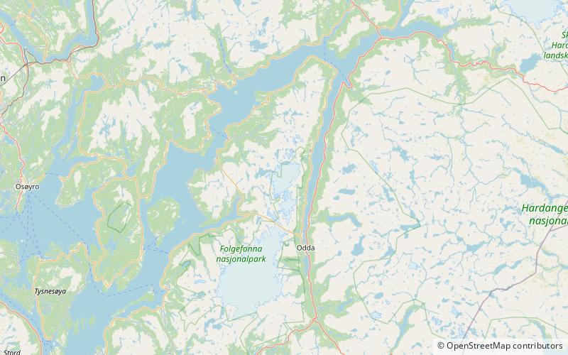
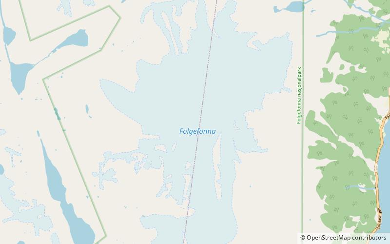
Nordre Folgefonna is one of the largest glaciers in mainland Norway. It is the northernmost of the three glaciers that make up Folgefonna. The glacier is located on the Folgefonna peninsula in the Hardanger and Sunnhordland regions of Vestland county. The 26-square-kilometre glacier lies in the municipalities of Kvinnherad and Ullensvang. Its highest point is 1,640 m above sea level, and its lowest point is 990 m above sea level. The glacier lies almost entirely inside Folgefonna National Park. ()
Alternative names: Maximum elevation: 5381 ftMinimal elevation: 3248 ftCoordinates: 60°12'13"N, 6°27'47"E
Address
Folgefonna National Park
ContactAdd
Social media
Add
Day trips
Nordre Folgefonna – popular in the area (distance from the attraction)
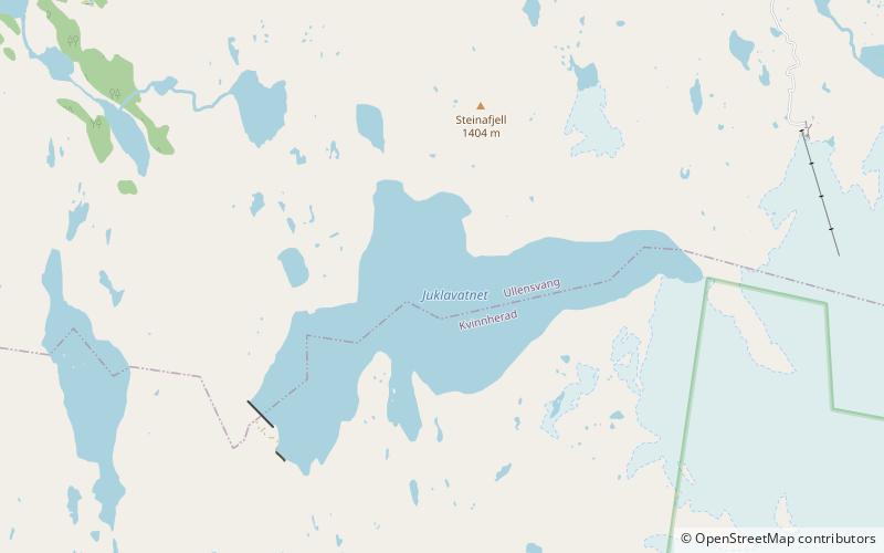
Nearby attractions include: Sørfjorden, Juklavatnet, Midtre Folgefonna.


