Youngstorget, Oslo
Map
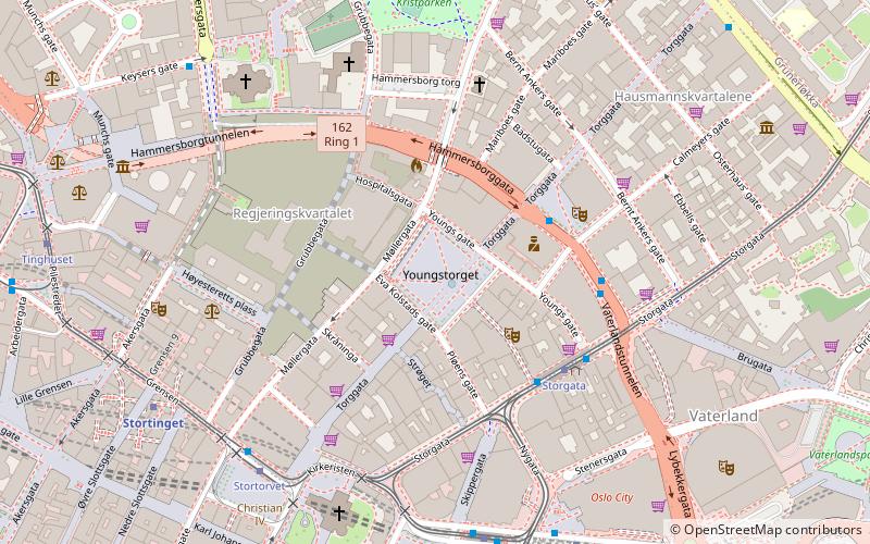
Map

Facts and practical information
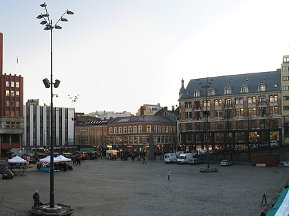
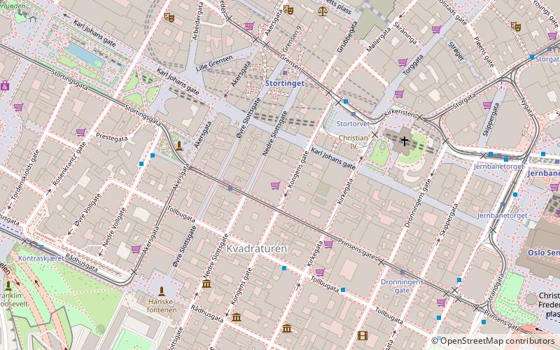
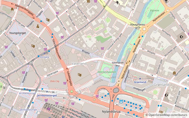
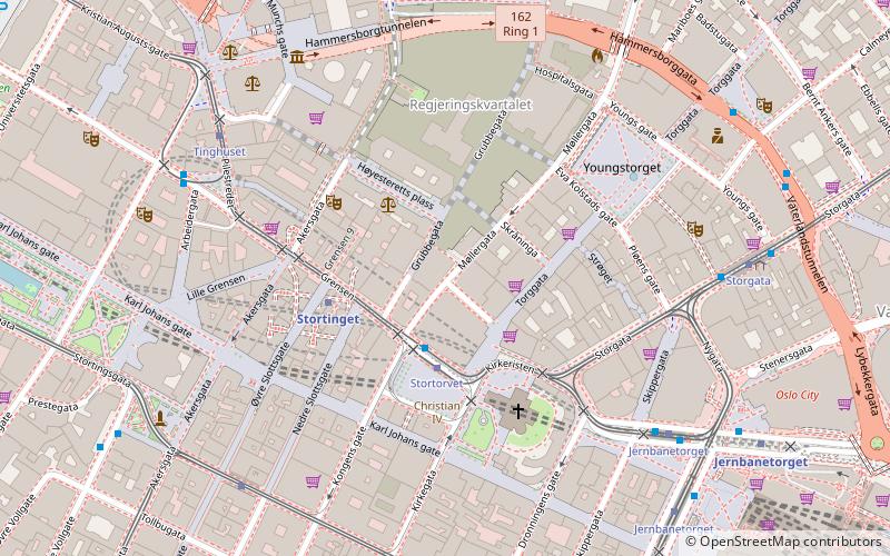
Youngstorget is a square and public space located in downtown Oslo. It lies at the junction of the streets Storgata and Møllergata and alongside Torggata. Constructed in 1846, it has become a symbol of political power in Norway. ()
Address
Youngstorget 1St Hanshaugen (Hammersborg)Oslo
ContactAdd
Social media
Add
Day trips
Youngstorget – popular in the area (distance from the attraction)
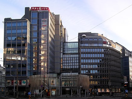
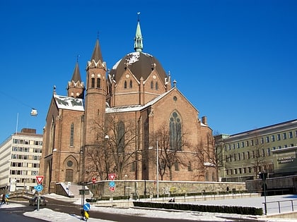
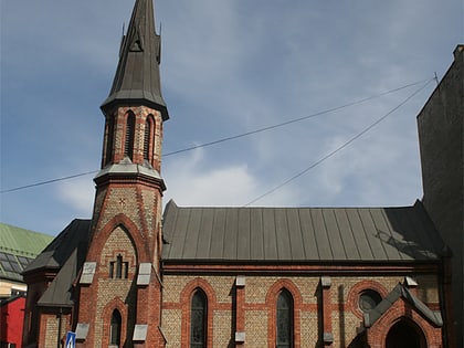
Nearby attractions include: Oslo Spektrum, Oslo Cathedral, Oslo City, Trefoldighetskirken.
Frequently Asked Questions (FAQ)
Which popular attractions are close to Youngstorget?
Nearby attractions include Møllergata 19, Oslo (2 min walk), Norwegian Labour Movement Archives and Library, Oslo (2 min walk), Oslo Police Museum, Oslo (2 min walk), Einar Gerhardsens plass, Oslo (3 min walk).
How to get to Youngstorget by public transport?
The nearest stations to Youngstorget:
Tram
Metro
Train
Bus
Ferry
Tram
- Storgata (3 min walk)
- Stortorvet (5 min walk)
Metro
- Jernbanetorget (6 min walk)
- Stortinget (6 min walk)
Train
- Oslo Central Station (8 min walk)
- National Theatre (19 min walk)
Bus
- Oslo Bus Terminal (12 min walk)
Ferry
- Salt brygge • Lines: B9 (15 min walk)
- Munch Bjørvika • Lines: B9 (17 min walk)
