Marka, Oslo
Map
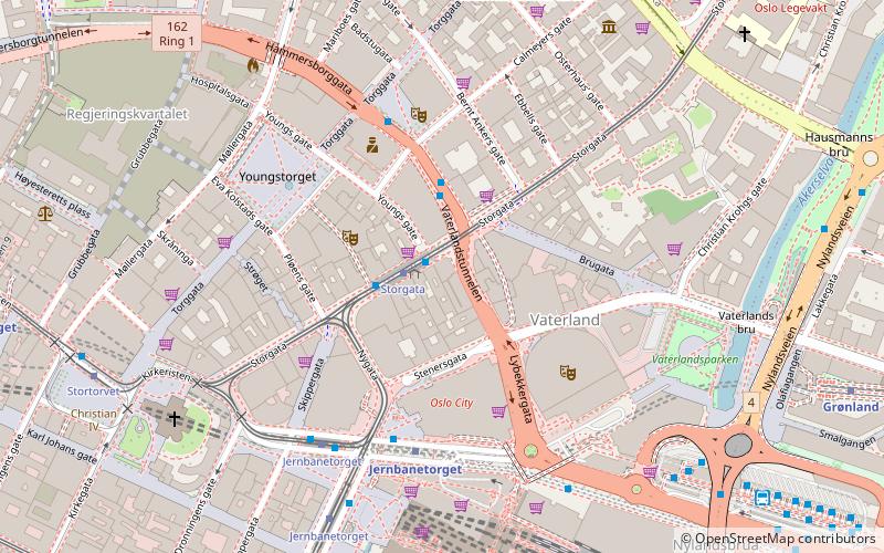
Map

Facts and practical information
Marka is the name of the forested and hilly areas surrounding Oslo, Norway. It includes areas within the municipality of Oslo, but also large areas in Hole, Ringerike, Jevnaker, Lunner, Nittedal, Bærum, Asker, and other municipalities in Viken county. The name is actually just the finite form of mark 'woodland, forest'. ()
Day trips
Marka – popular in the area (distance from the attraction)
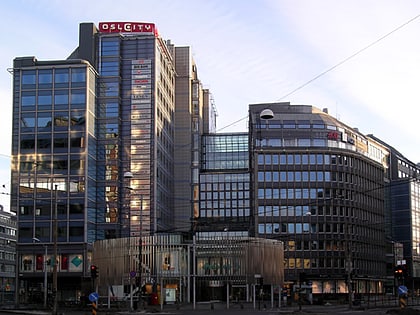
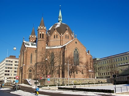
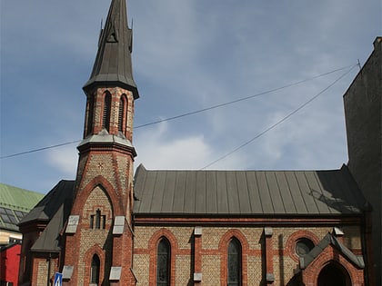
Nearby attractions include: Oslo Spektrum, Oslo Cathedral, Oslo City, Trefoldighetskirken.
Frequently Asked Questions (FAQ)
Which popular attractions are close to Marka?
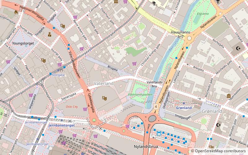
Nearby attractions include Clarion Collection Hotel Folketeateret, Oslo (2 min walk), Vaterland, Oslo (3 min walk), Oslo Spektrum, Oslo (3 min walk), Oslo Police Museum, Oslo (3 min walk).
How to get to Marka by public transport?
The nearest stations to Marka:
Tram
Metro
Train
Bus
Ferry
Tram
- Storgata (1 min walk)
- Jernbanetorget (5 min walk)
Metro
- Jernbanetorget (4 min walk)
- Grønland (8 min walk)
Train
- Oslo Central Station (6 min walk)
- National Theatre (22 min walk)
Bus
- Oslo Bus Terminal (9 min walk)
Ferry
- Salt brygge • Lines: B9 (14 min walk)
- Munch Bjørvika • Lines: B9 (15 min walk)
