Bjørnøya, Ålesund
Facts and practical information
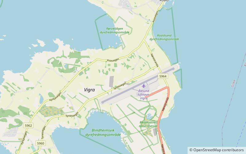
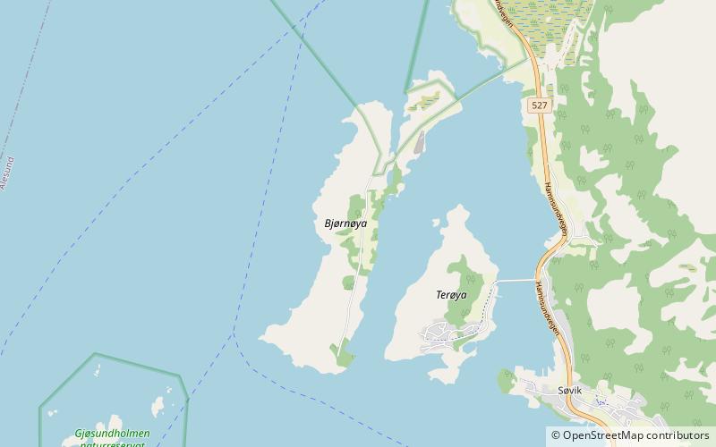
Bjørnøya is a populated island in Ålesund Municipality in Møre og Romsdal county, Norway. It lies in the Vigrafjorden, between the island of Vigra to the west and the Norwegian mainland to the east. It is connected to the Norwegian mainland through a man-made causeway. The nearest larger village on the mainland is Søvik. To the east of the Bjørnøya lies the island of Terøya. The two islands are separated by the Bjørnøysundet. The island was part of the former municipality of Borgund until 1965 when it joined Haram Municipality. In 2020, it became part of Ålesund Municipality. ()
Møre og Romsdal
Bjørnøya, Ålesund – popular in the area (distance from the attraction)
Nearby attractions include: Valderøy Church, Giske Bridge, Giske Wetlands System, Vigra Church.
