Tenna
Map
Facts and practical information
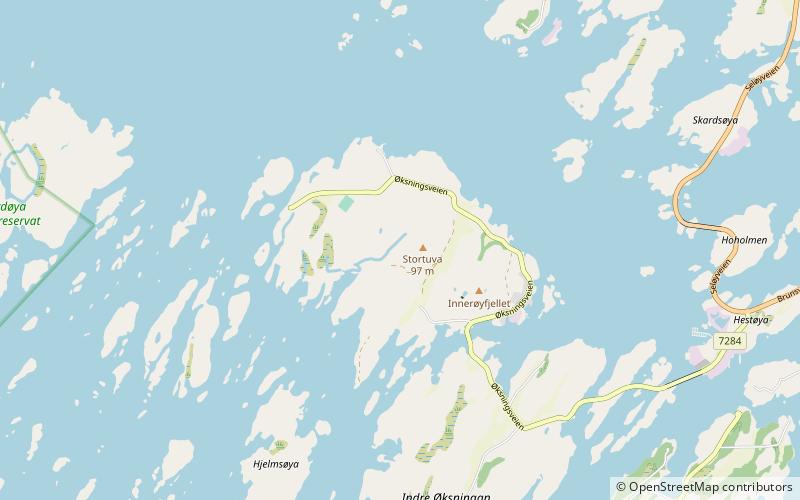
Tenna or Kinnarøya is an island in the municipality of Herøy in Nordland county, Norway. The island has an area of 3.5 square kilometers. It is traversed by Norwegian County Road 161, which also connects it to the neighboring island of Sør-Herøy, crossing Tennsundet over the Tennsund Bridge. To the south lies Andøysundet. The Husvær islands lie to the southwest of Tenna; they are connected to Tenna by a ferry. ()
Alternative names: Area: 1.35 mi²Maximum elevation: 69 ftArchipelago: HerøyCoordinates: 65°56'56"N, 12°14'19"E
Location
Nordland
ContactAdd
Social media
Add
Day trips