Indre Øksningan
Map
Facts and practical information
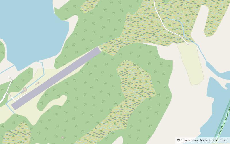
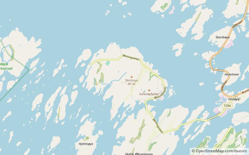
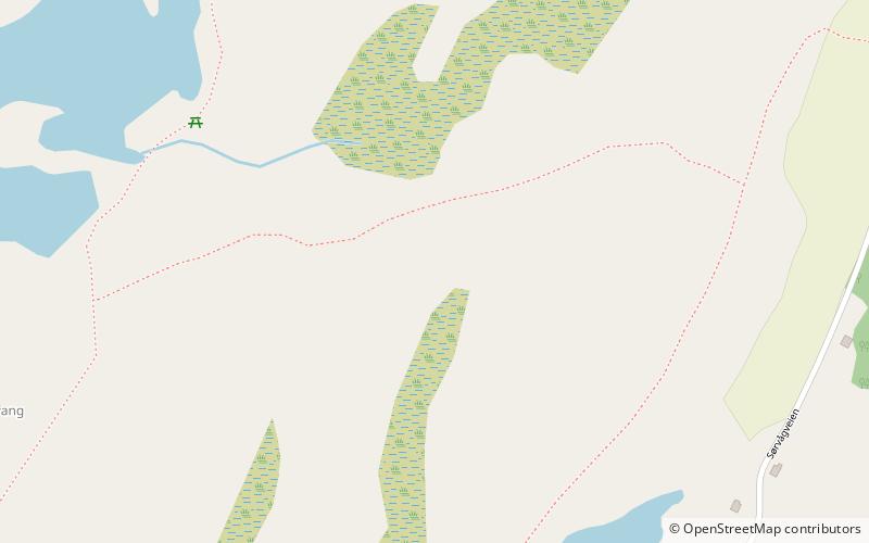
Indre Øksningan is an island in the municipality of Herøy in Nordland county, Norway. Together with Ytre Øksningan, it is part of the Øksningan archipelago. The island has an area of 2.3 square kilometers and a population of 78. It is connected to the rest of Herøy by the Kalvøyrevet Bridge and Norwegian County Road 166. ()
Alternative names: Area: 0.89 mi²Maximum elevation: 189 ftArchipelago: ØksninganCoordinates: 65°59'27"N, 12°13'16"E
Location
Nordland
ContactAdd
Social media
Add
Day trips