Utladalen Landscape Protection Area

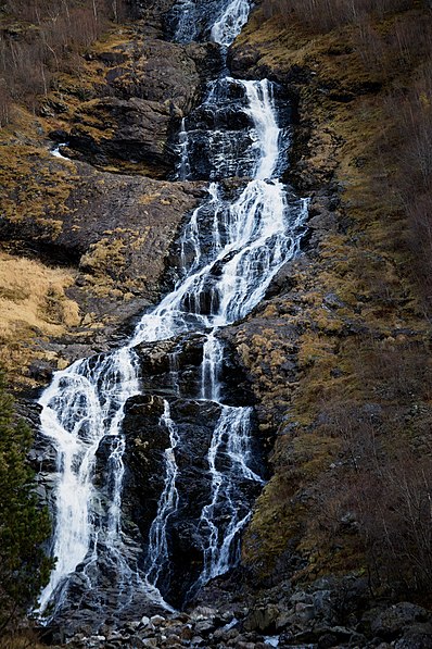
Gallery (2)
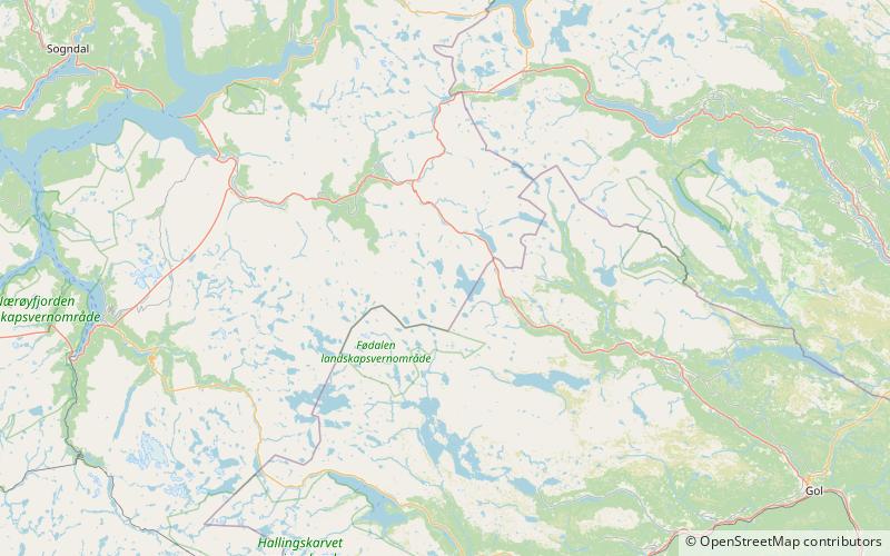
Map
Map
Gallery
Facts and practical information
Utladalen Landscape Protection Area is adjacent to Jotunheimen National Park, covering Utladalen, Norway's deepest valley. It is located about 5 kilometres northeast of Øvre Årdal in the municipality of Årdal in Vestland county, Norway. ()
Location
Sogn og Fjordane
ContactAdd
Social media
Add
Day trips
Utladalen Landscape Protection Area – popular in the area (distance from the attraction)
Nearby attractions include: Eldrevatnet.
