Eldrevatnet
Map

Map

Facts and practical information
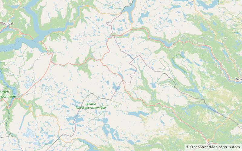
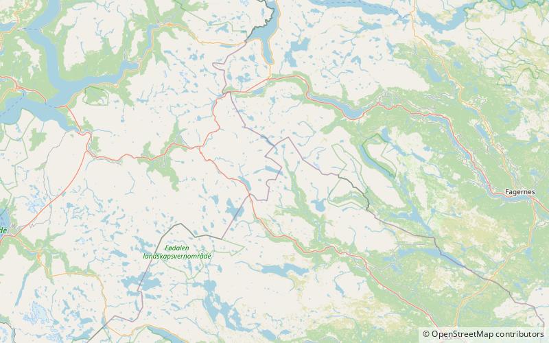
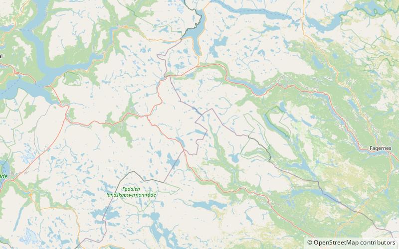
Eldrevatnet or Eldrevatn is a lake in the municipality of Lærdal in Vestland county, Norway. The 3.48-square-kilometre lake lies at an elevation of 1,116 metres above sea level. It is located about 15 kilometres southeast of the village of Borgund, not far from the European route E16 highway and the Filefjell Kongevegen road. The lake Øljusjøen lies 4 kilometres south of the lake. The lake Juklevatnet and the mountain Høgeloft both lie about 5 kilometres to the northeast of the lake. ()
Alternative names: Length: 2.61 miWidth: 3281 ftElevation: 3661 ft a.s.l.Coordinates: 61°0'7"N, 8°8'17"E
Location
Sogn og Fjordane
ContactAdd
Social media
Add
Day trips
Eldrevatnet – popular in the area (distance from the attraction)
Nearby attractions include: Juklevatnet, Høgeloft, Haukefjellet, Utladalen Landscape Protection Area.


