Brønnøysund Bridge
Map

Map

Facts and practical information
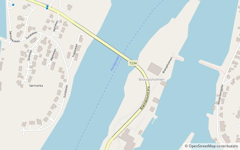
The Brønnøysund Bridge is a cantilevered road bridge near the town of Brønnøysund in Brønnøy municipality in Nordland county, Norway. The bridge was constructed in 1979 and it connects the small island of Torget with the mainland just south of Brønnøysund. The 550-metre-long bridge has a maximum clearance to the sea of 30 metres. It consists of 20 spans, the longest of which is 110 metres. The bridge deck is made of pre-stressed concrete. ()
Local name: Brønnøysund bru Opened: 1979 (47 years ago)Length: 1804 ftCoordinates: 65°27'53"N, 12°11'22"E
Location
Nordland
ContactAdd
Social media
Add
Day trips
Brønnøysund Bridge – popular in the area (distance from the attraction)
Nearby attractions include: Torghatten, Brønnøy Church, Norwegian Aquaculture Center.


