Østmarka
Map
Map

Facts and practical information
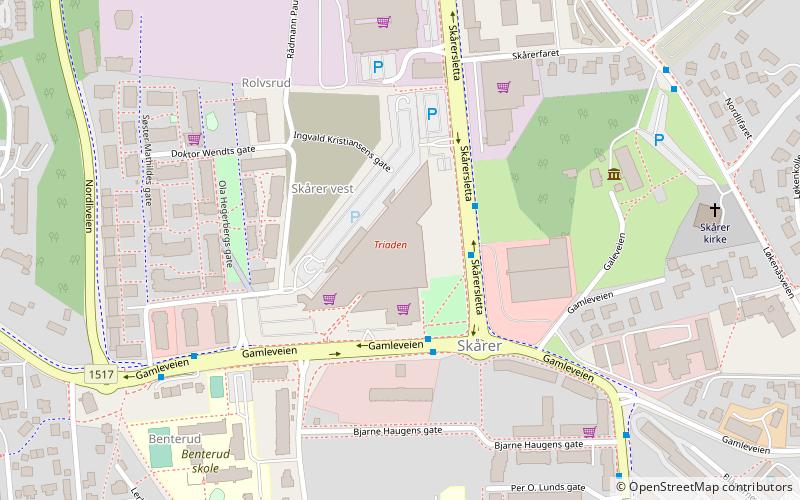
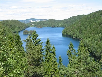
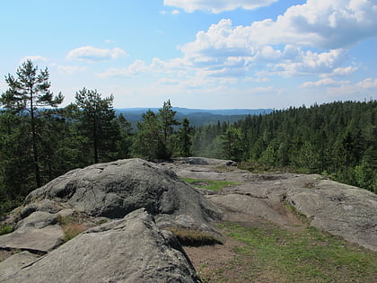
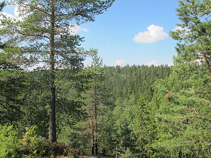
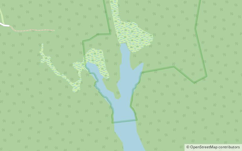
Østmarka is a forested area to the east of Oslo and part of the congregation of woodland areas known as Oslomarka. The area is situated within the municipalities Oslo, Lørenskog, Rælingen, Ski and Enebakk. Østmarka is delimited to the west by populated areas of Oslo, to the north of communities of Skårer, Lørenskog and Rælingen and to the east by the lake Øyeren, to the south-east lies Enebakk and to the south-west Sørmarka, another forested area. ()
Location
Akershus
ContactAdd
Social media
Add
Day trips
Østmarka – popular in the area (distance from the attraction)
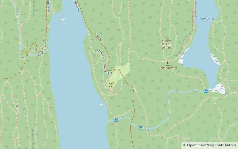
Nearby attractions include: Lørenskog Storsenter, Lutvann, Mortensrud Church, Sarabråten.

