Sarabråten, Oslo
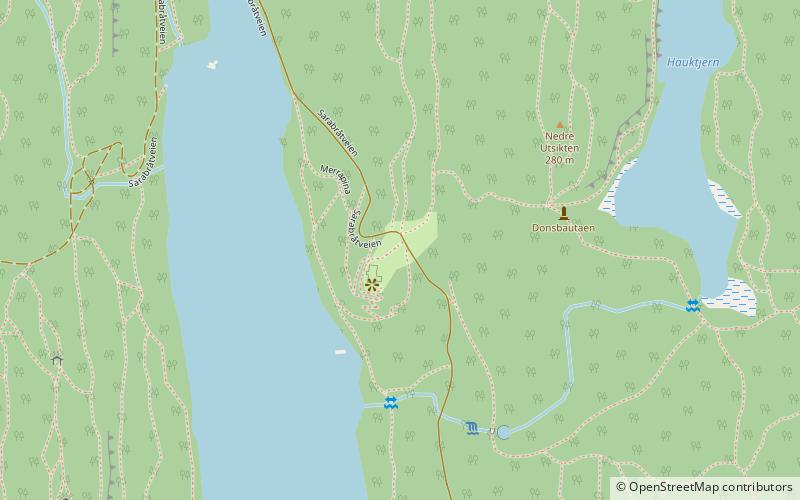
Map
Facts and practical information
Sarabråten is an area near the lake Nøklevann in Østmarka, Oslo, Norway. ()
Address
MarkaOslo
ContactAdd
Social media
Add
Getting there by public transportation
Public transportation stops near this location
- Metro
 Metro
Metro
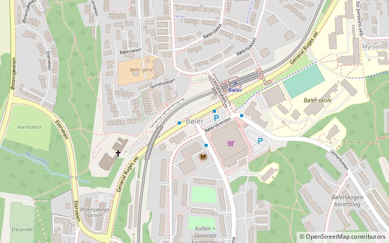
- Calculate routeUlsrud 27 min walk
- Calculate routeBøler 33 min walk
Day trips


Frequently Asked Questions (FAQ)
How to get to Sarabråten by public transport?
The nearest stations to Sarabråten:
Metro
Metro
- Ulsrud (27 min walk)
- Bøler (33 min walk)