Moldemarka
Map
Map

Facts and practical information
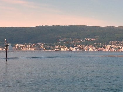
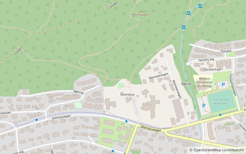
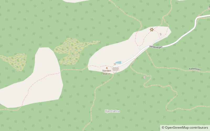
Moldemarka is a 30-square-kilometre hilly and mostly wooded recreational area north of Molde in Molde Municipality, Møre og Romsdal county, Norway. The area is known for the Molde panorama, with views of more than 222 rugged and partly snow-clad peaks, mountainous islands, green hills, and the North Atlantic Ocean to the north and west. Moldemarka and Varden grew to international fame at the turn of the 20th century, with the German Kaiser Wilhelm II and the Prince of Wales as regular visitors. ()
Coordinates: 62°44'54"N, 7°7'34"E
Location
Møre og Romsdal
ContactAdd
Social media
Add
Day trips
Moldemarka – popular in the area (distance from the attraction)
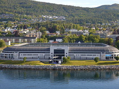
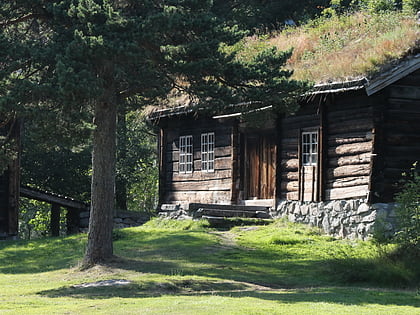
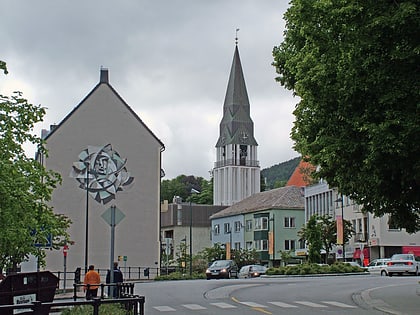
Nearby attractions include: Aker Stadion, Romsdalsmuseet, Molde Cathedral, Kongebjørka.
