Nordhordland Bridge, Bergen
Map

Gallery
Facts and practical information
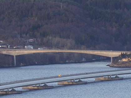
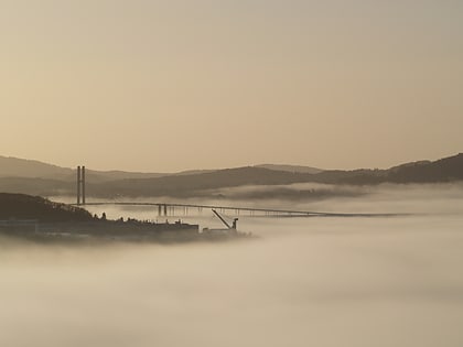
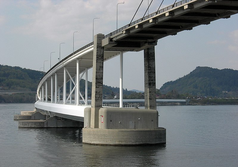
The Nordhordland Bridge is a combined cable-stayed and pontoon bridge which crosses Salhusfjorden between Klauvaneset and the island of Flatøy in Vestland county, Norway. It is 1,614 meters long, of which the pontoon section is 1,246 meters long. The cable-stayed section consists of a single 99-meter tall H-pylon which has a length of 368 meters and a main span of 172 meters. This allows for a clearance of 32 meters. ()
Local name: Nordhordlandsbrua Opened: 22 September 1994 (31 years ago)Length: 5295 ftHeight: 325 ftCoordinates: 60°31'25"N, 5°15'59"E
Address
Bergen
ContactAdd
Social media
Add
Day trips
Nordhordland Bridge – popular in the area (distance from the attraction)
Nearby attractions include: The Textile Industry Museum, Krossnessundet Bridge, The Norwegian Knitting Industry Museum, Salhusfjorden.
Frequently Asked Questions (FAQ)
How to get to Nordhordland Bridge by public transport?
The nearest stations to Nordhordland Bridge:
Bus
Ferry
Bus
- Fossesjøen • Lines: 340 (19 min walk)
- A • Lines: 300, 340 (19 min walk)
Ferry
- Frekhaug kai (19 min walk)

