Krossnessundet Bridge
Map

Map

Facts and practical information
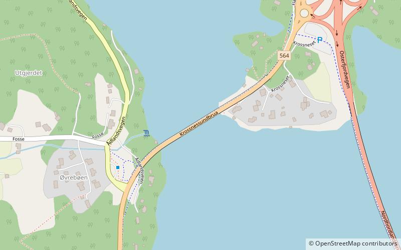
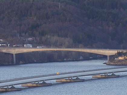
The Krossnessundet Bridge is a cantilever bridge in Alver Municipality in Vestland county, Norway. The bridge connects the islands of Holsnøy and Flatøy on the north side of the Salhusfjorden. The village of Krossneset is located at the eastern end of the bridge. Opened in 1978, it is part of County Road 564. It is 391 metres long and has a main span of 175 metres. ()
Location
Hordaland
ContactAdd
Social media
Add
Day trips
Krossnessundet Bridge – popular in the area (distance from the attraction)
Nearby attractions include: Nordhordland Bridge, Hagelsund Bridge, Salhusfjorden, Strilelandet.


