Sørenga, Oslo
Map
Map

Facts and practical information
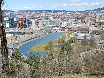
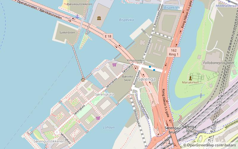
Sørengautstikkeren is a neighborhood in the borough Gamle Oslo in Oslo, Norway. It is an artificial peninsula that sticks out into the Oslofjord form Bjørvika and Sørenga. It is part of the Port of Oslo, but will be redeveloped as part of the Fjord City urban redevelopment program, after the Bjørvika Tunnel is completed in 2010, and the European Route E18 will run under the area. Until then, it is used as a container port, a quay for cruiseships and as a storage area for earth and bulk. The quay is 880 metres long. ()
Address
Gamle Oslo (Lodalen)Oslo
ContactAdd
Social media
Add
Day trips
Sørenga – popular in the area (distance from the attraction)
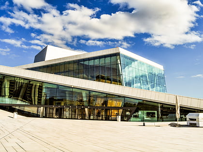
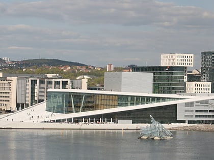
Nearby attractions include: Oslo Opera House, Gamle Museet, Armed Forces Museum, Munch Museum.
Frequently Asked Questions (FAQ)
Which popular attractions are close to Sørenga?
Nearby attractions include Losæter, Oslo (3 min walk), Munch Museum, Oslo (5 min walk), Middelalderparken, Oslo (5 min walk), Bjørvika Tunnel, Oslo (6 min walk).
How to get to Sørenga by public transport?
The nearest stations to Sørenga:
Ferry
Tram
Train
Bus
Metro
Ferry
- Munch Bjørvika • Lines: B9 (5 min walk)
- Salt brygge • Lines: B9 (10 min walk)
Tram
- Bjørvika (8 min walk)
- Middelalderparken (9 min walk)
Train
- Oslo Central Station (14 min walk)
- National Theatre (33 min walk)
Bus
- Oslo Bus Terminal (15 min walk)
Metro
- Jernbanetorget (16 min walk)
- Grønland (17 min walk)

