Kyrkjetaket
Map

Gallery

Facts and practical information
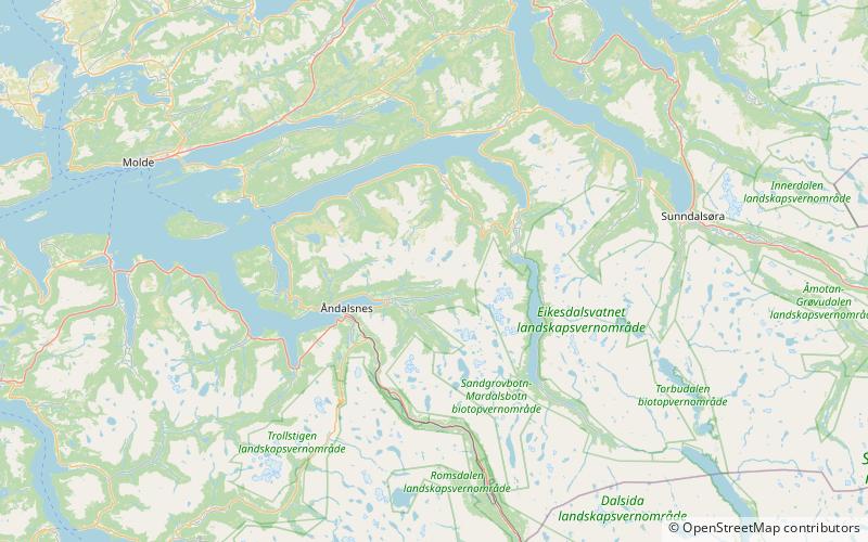
Kyrkjetaket or Kirketaket is a mountain on the border of the municipalities of Rauma and Nesset in Møre og Romsdal county, Norway. The 1,439-metre tall peak is located in Rauma, about 7 kilometres northeast of the village of Isfjorden and 12.4 kilometres from the town of Åndalsnes. The mountain Gjuratinden lies about 9 kilometres southeast of Kyrkjetaket. The name Kyrkjetaket translates to "the Church roof". ()
Location
Møre og Romsdal
ContactAdd
Social media
Add
Day trips
Kyrkjetaket – popular in the area (distance from the attraction)
Nearby attractions include: Juratinden, Sogge Bridge, Hen Church, Soggebru.


